


 Download
  surnav.co
GPS RTK vs. Total Station: A Battle of Two Heroes in Surveying
1. GPS RTK and Total Station Overview

GPS RTK and total stations both play a vital role in the field of surveying.
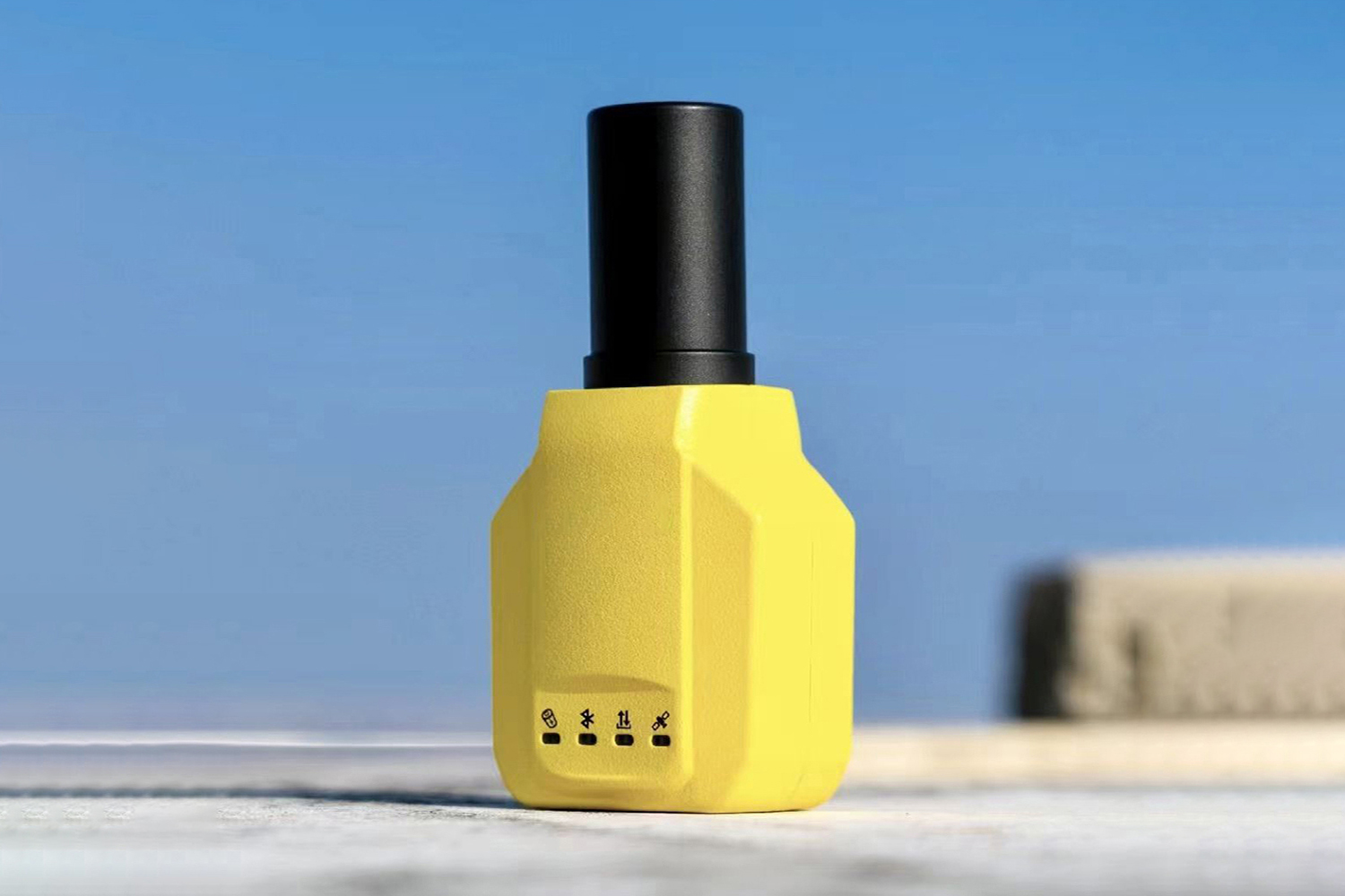
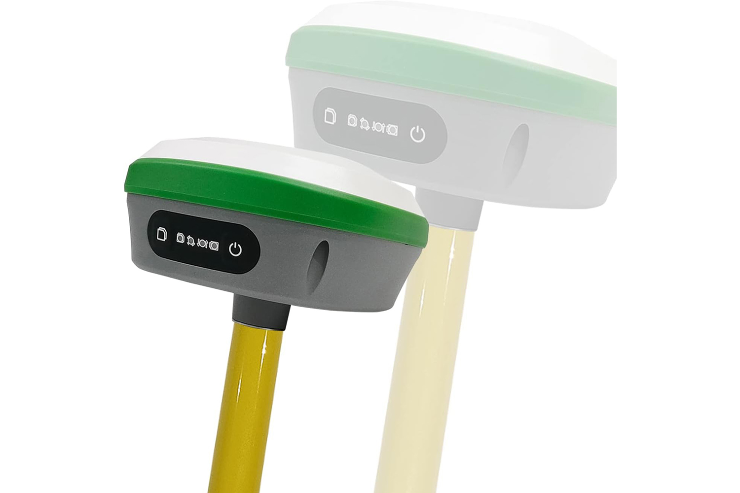
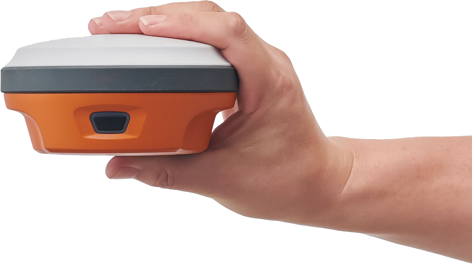
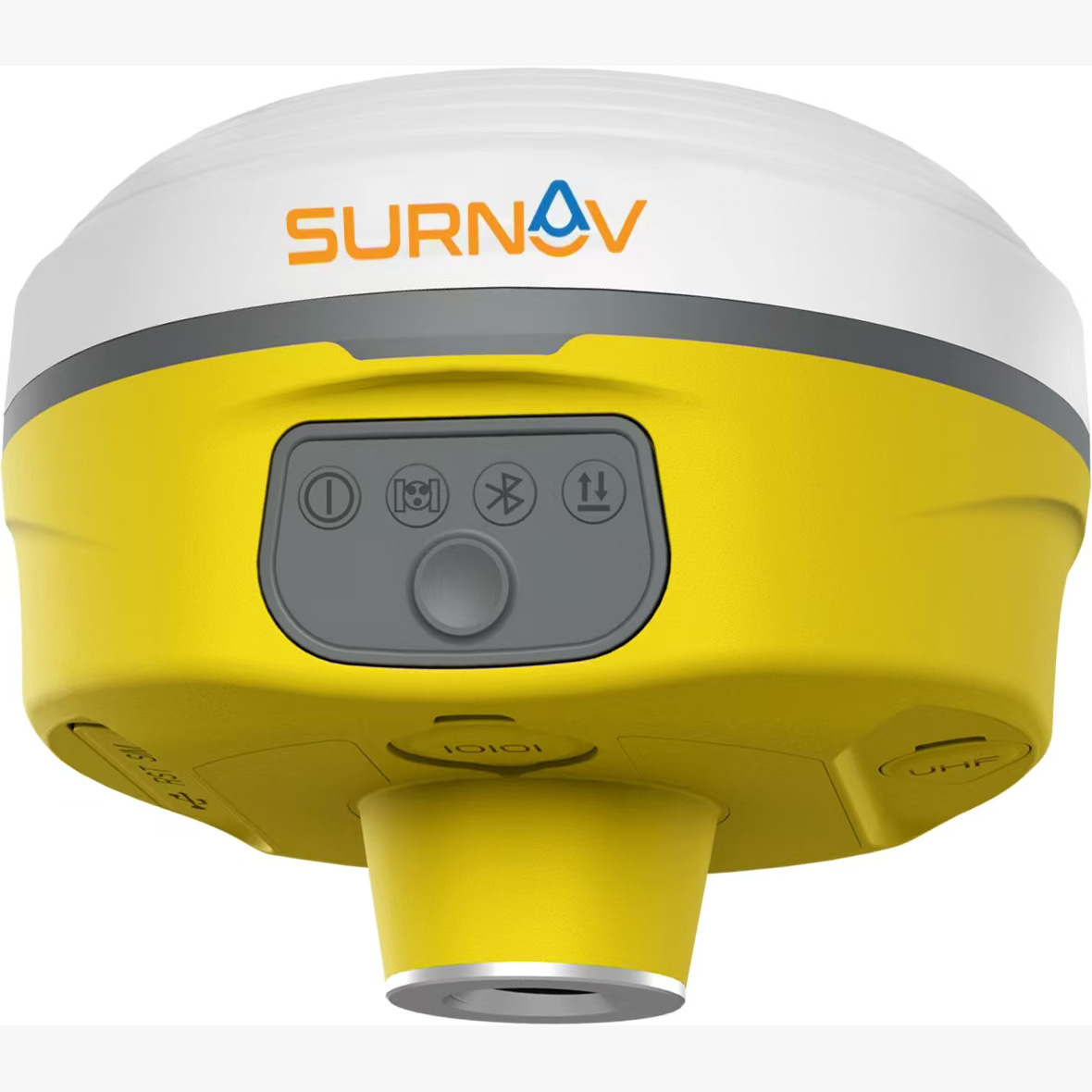
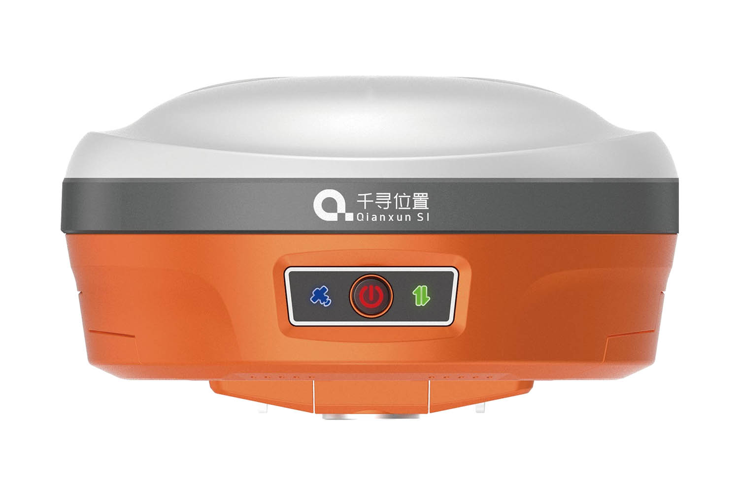
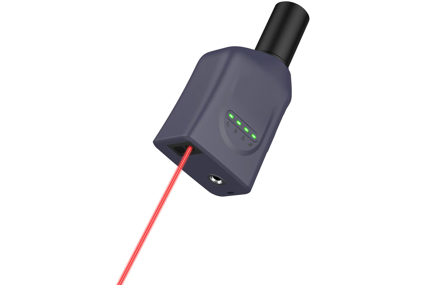
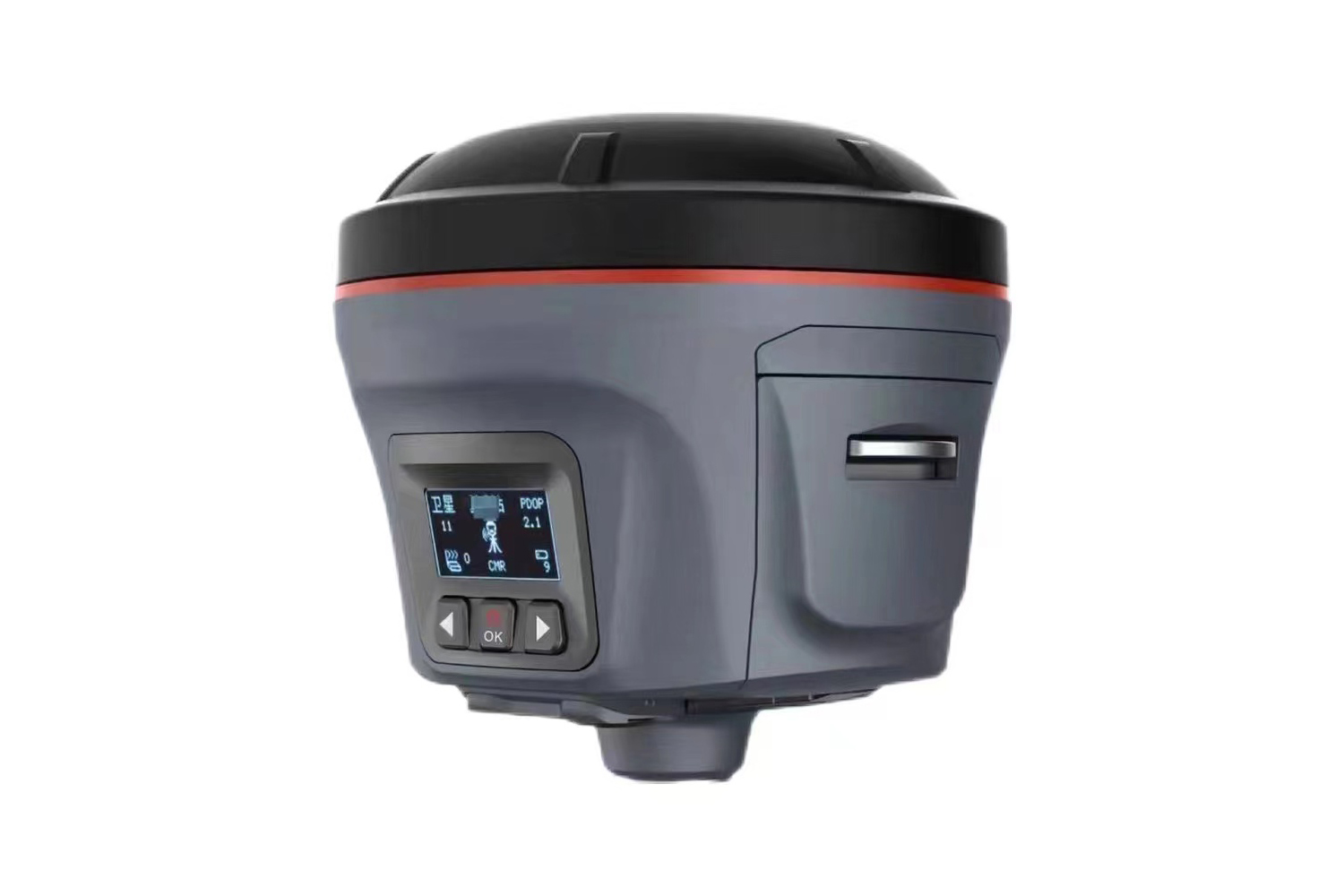
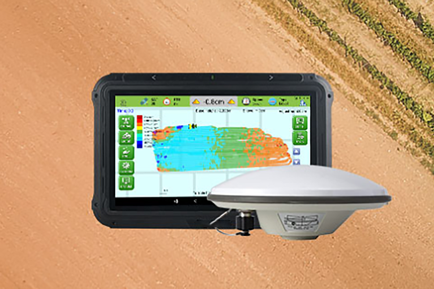
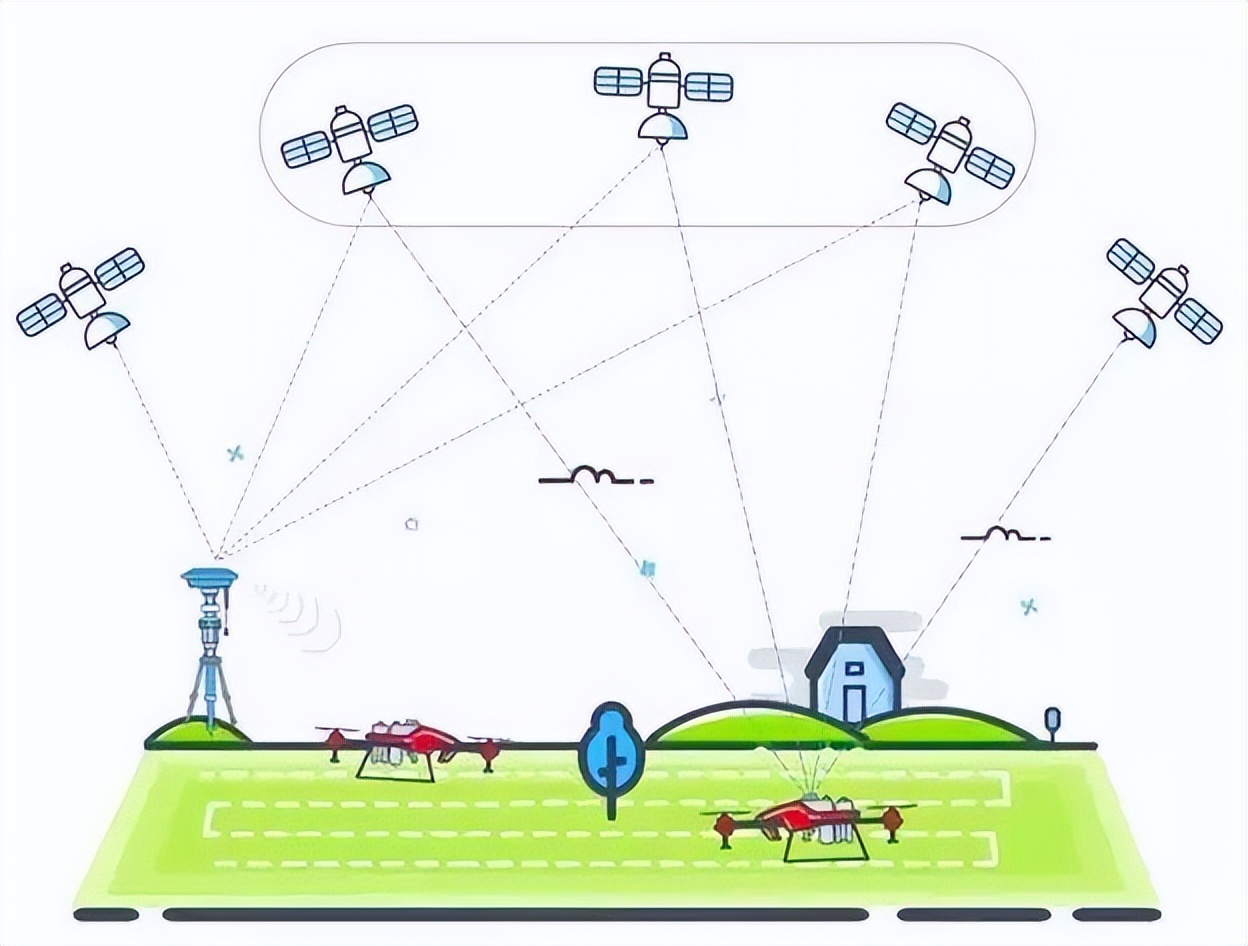
GPS RTK, or real-time dynamic carrier phase differential technology, is a combined system that integrates computer technology, digital communication technology, radio technology, and GPS measurement and positioning technology. It can provide the three-dimensional coordinates of the measurement point in the specified coordinate system in real time, and achieve centimeter-level accuracy. It is widely used in highway surveying, engineering construction layout, digital mapping and other fields. For example, in highway layout, after setting up the base station and the mobile station, enter the coordinates of the point to be laid out. When the actual position of the layout point coincides with the position of the RTK antenna, the position of the layout point is obtained. In digital mapping, carrier phase differential technology can meet global positioning throughout the day, is not affected by factors such as time and geographical location, can perform real-time mapping and measurement, and can also be used without mapping, which greatly saves manpower and material resources. A staff member can complete a mapping task that would take 5 to 6 days to complete in the traditional way in 1 to 2 days.
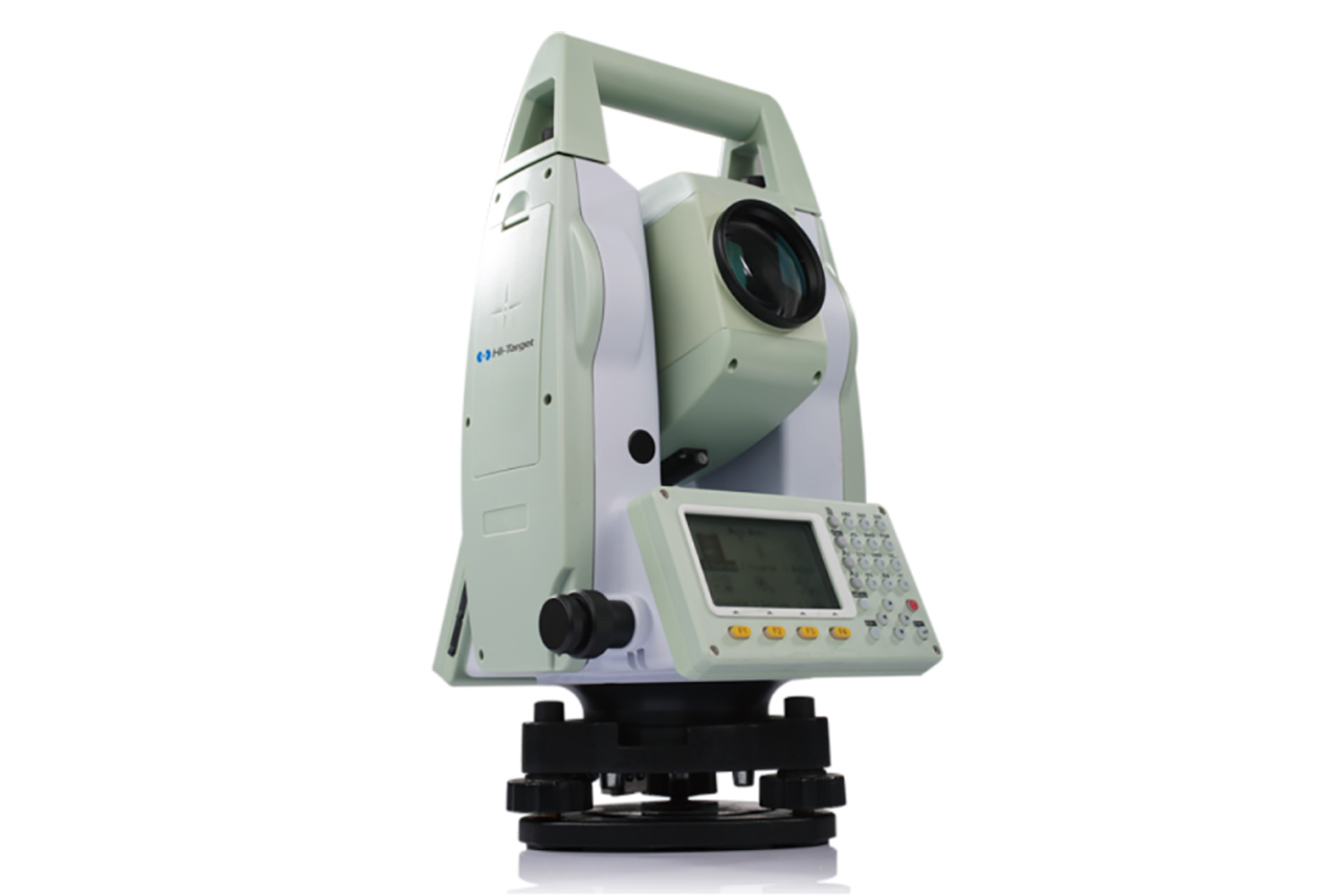
The total station is a new type of angle measuring instrument that integrates optics, machinery and electricity. It is a surveying and mapping instrument system that integrates horizontal angle, vertical angle, distance (slant distance, horizontal distance) and height difference measurement functions. It is widely used in civil engineering, construction engineering, geological survey and other fields. In topographic surveying, in certain surveying areas, the single use of a total station may affect work efficiency due to time-consuming and labor-intensive field measurements and the accuracy being affected by brightness, but it still has an irreplaceable role in some specific scenarios. For example, in areas with densely populated cities and many mountainous and forested features, the total station is not easily affected and disturbed by factors such as strong external radiation and the status of satellites in the sky, and can perform measurement work better. At the same time, the total station has a high-precision measurement function and can achieve millimeter-level measurement accuracy.
2. Features and advantages of GPS RTK
1. High-precision positioning
GPS RTK can provide real-time three-dimensional positioning results of the measuring station, with an accuracy of up to centimeters. According to relevant data, the nominal accuracy of RTK of various brands of GPS is mostly 10mm+1ppm in plane and 20mm+1ppm in elevation. This means that in actual measurement, GPS RTK can provide high-precision positioning data for engineering construction, topographic surveying and mapping, etc., greatly improving the accuracy and reliability of measurement.
2. Long-distance measurement
GPS RTK has a long measurement distance, generally around 10,000m, and can complete the measurement task in one go. In comparison, the longest measurement distance of a general total station is only 1,500m. In long-distance measurement tasks, GPS RTK has obvious advantages. For example, in topographic surveys of large engineering projects, GPS RTK can quickly and accurately complete large-scale measurement work, reducing the number of station moves for surveyors and improving work efficiency.
3. No visual restriction
GPS RTK is not limited by optical line of sight, and can perform measurement work as long as there is a line of sight to the sky. The use of a total station requires sufficient visible light, and there must be no obstructions between the target object and the observation instrument. In actual measurement, GPS RTK is easier to achieve line of sight conditions, especially in areas with complex terrain and dense buildings, GPS RTK can better complete measurement tasks.
4. No error accumulation
The error of each measurement point of GPS RTK is relative to the base station, and there will be no error accumulation like the total station. This is because during the GPS RTK measurement process, the mobile station not only receives signals from the satellite, but also receives differential correction data from the base station, thus ensuring the accuracy of each measurement point. However, during the relocation process of the total station, errors will accumulate, affecting the accuracy of the measurement results.
5. Efficient operation
GPS RTK has the advantage of single-person operation and high efficiency in layout work. In the layout work of large-scale design points such as roads, GPS RTK only needs one professional, and with its high-precision positioning and real-time dynamic measurement characteristics, it can quickly and accurately complete the layout task. In contrast, total station mapping requires at least 3 people, and the layout efficiency is low.
6. All-weather operation
GPS RTK can operate around the clock. With the development of science and technology in my country, the number of GPS satellites has continued to increase and is evenly distributed, enabling synchronous observations at any location on the earth. Generally, there are at least four satellites for synchronous observations, ensuring the needs of all-weather, continuous real-time navigation and positioning. In the process of using GPS RTK for observation, it is not affected by weather factors, such as windy, rainy days, etc. At the same time, because it uses pseudo-code spread spectrum technology, it has good confidentiality and anti-interference.
7. Wide range of application scenarios
GPS RTK has a wide range of applications in road and terrain surveying, and is particularly suitable for the layout of large quantities of design points. For example, in the layout of road side stakes, land acquisition scope lines, etc., GPS RTK does not need to lay out basic control points along the way, reducing the density of the construction control network, saving money and time. In terrain surveying, GPS RTK can quickly and accurately obtain terrain data, providing an efficient solution for terrain surveying and mapping.
3. Characteristics and advantages of total station
1. Powerful data processing system
The total station has its own data processing system, which can process spatial data quickly and accurately. It can calculate the azimuth of the staked point and the distance from the point to the measurement site based on the input coordinate values. For example, in engineering construction, by inputting the coordinates of known points into the total station, it can quickly calculate the azimuth and distance of the point to be staked, providing accurate positioning information for construction personnel. At the same time, the total station can also store and manage the measurement data, which is convenient for subsequent query and analysis.
2. Not affected by satellite signals
Total stations do not require satellite signals, so they are not affected by factors such as indoors and outdoors, under trees, and next to tall buildings. In some areas where satellite signals are blocked, such as between tall buildings in cities and in mountain valleys, total stations can still work normally. This gives total stations an irreplaceable advantage in some specific measurement scenarios. For example, in the measurement of underground pipelines in cities, GPS RTK cannot be used because satellite signals cannot penetrate the ground, while total stations can accurately calculate the position of the point to be measured by measuring the angle and distance between the known point and the point to be measured.
3. High measurement accuracy
Total stations have the advantage of high precision in short-distance measurement, which can reach the millimeter level. According to data, the highest-precision total stations on the market can reach sub-millimeter levels, such as the accuracy of Sokkia's total station, which is 0.5mm+1ppm (reflection sheet). In some projects that require high measurement accuracy, total stations can meet strict accuracy requirements. For example, in bridge projects, extremely high precision is required for the position and height measurement of bridge piers. Total stations can provide accurate data support for bridge construction by accurately measuring angles and distances.
(IV) Specific application scenarios
Total stations are highly applicable in densely populated urban areas and areas with many mountainous and forested features. In these areas, total stations are not easily affected or interfered by factors such as strong external radiation and the status of satellites in the sky. For example, when measuring in densely built-up areas in cities, GPS RTK may not be able to receive enough satellite signals due to building obstructions, but total stations can accurately determine the location of the measurement point by measuring the angle and distance between adjacent buildings. In mountainous and forested areas, total stations can also use their characteristics of not being affected by satellite signals to conduct topographic surveys and forestry resource surveys.
4. Differences between GPS RTK and Total Station
1. Different usage conditions
The use of total stations must have sufficient visible light, because after automatic measurement is achieved, the human eye is still needed to aim at the target. If the light is weak, the observation of the target will be affected. Secondly, there must be optical line of sight, that is, there must be no obstructions between the target and the observation instrument to prevent the target from being missed or the data from being measured. GPS RTK does not require strong light, but requires optical line of sight to the sky, because this technology uses artificial satellite signals, which are relatively weak, so it is required to be carried out under an open sky; at the same time, there is no need for optical line of sight between the GPS RTK hosts, and the fixed host and the host of the mobile station do not need optical line of sight, because the connection uses radio signals. From a practical application point of view, line of sight to the sky is easier to achieve than optical line of sight, so in terms of usage conditions, GPS RTK has more advantages.
(II) Different measurement distances
A general total station can be said to be a short-distance measurement tool, because its longest measurement distance is only about 1500m. If it is farther, the human eye will have difficulty identifying the target, and the return signal is too weak to measure data. If the point to be observed is far away from the known point, it will be necessary to move the station several times to complete the measurement. The measurement distance of GPS RTK is generally around 10000m, so in conventional measurement, only one base station needs to be set up to complete the measurement. For example, in large-scale topographic survey projects, GPS RTK can quickly cover a large area, reducing the workload and time cost of surveyors.
(III) Different error situations
In actual measurement work, it is impossible to complete the measurement work in one station, so the total station needs to be moved. Before moving the station, the next station should be measured, and then the station should be moved. At this time, measurement errors appear. Because the measurement of each point cannot be absolutely correct, there are certain errors. The more times the station is moved, the greater the error accumulation. If no adjustment is performed, the accuracy of the last point will be very poor, which is unavoidable for the total station. The principle of GPS RTK measurement is to compare the base station and the mobile station, that is, to obtain the precise relative position between the two. Each point measured by the mobile station is the result of comparison with the base station data, and the position of the base station is fixed. Therefore, the error of each point measured by the mobile station is relative to the base station, and there will be no error propagation problem like the total station, and there will be no error accumulation.
4. Different introductory questions
Whether in developed cities or backward towns, the number of control points may not be enough. At this time, the use of a total station will inevitably produce a cumulative effect of errors, because the points must be led by primary or secondary wires, and then the control points are laid out for mapping after being led to the survey area. The long-distance lead-in makes the control points not accurate after being led to the survey area, and the survey and setting of primary and secondary wires is also very complicated, time-consuming, labor-intensive and costly, and it is difficult to improve work efficiency. When using GPS RTK, there is no need to worry about the control point problem. Generally, control points within 30 kilometers can be led to the survey area, which greatly improves efficiency, and there is no problem of error accumulation. The control points can be laid out directly in the survey area, and the control points can be repaired at any time.
5. Different personnel requirements
It takes at least three people to survey with a total station, and all of them are professionals. During the operation, one person observes, one person runs the ruler, and another person records. In addition, a walkie-talkie must be used when staking out, and the person operating the total station directs the prism, which makes the staking out efficiency low. GPS RTK only requires one professional, and its staking out efficiency is also much better than that of a total station. The GPS RTK handbook displays the direction, distance difference, azimuth and elevation difference, and one person can complete the staking out work by looking at the instructions. Due to the indication of distance and azimuth, the staking out efficiency is much higher than that of a total station. Generally, if a total station is used to stake out a road, about 5 kilometers can be staked out in a day, while RTK can stake out 10 kilometers.
5. Comparison of the accuracy of GPS RTK and total station
1. Accuracy performance in different measurement scenarios
1. In urban environments, buildings, trees, etc. will produce multipath effects and shadow effects on satellite signals, affecting the positioning accuracy of GPS RTK. Related studies have shown that in urban environments, the RTK positioning accuracy is relatively low. The total station is not affected by satellite signals, and as long as there is sufficient visible light and optical visibility conditions, it can perform high-precision measurements. For example, when conducting topographic measurements in densely built-up areas in cities, the total station can accurately measure the angles and distances between adjacent buildings with an accuracy of up to millimeters.
2. In the agricultural field, farmland is open and there is no multipath effect and shadow effect interference like in urban environment. At this time, the high-precision positioning advantage of GPS RTK can be brought into play, which can provide accurate farmland boundary and land use information, and the positioning accuracy is usually high. The application of total station in the agricultural field is relatively small, but in some specific cases, such as when small buildings or facilities in farmland need to be accurately measured, the high precision of total station can also play a role.
3. In the aerospace field, aircraft are flying in the air, and there are no obstacles on the ground to block satellite signals, so the GPS RTK positioning accuracy is relatively high. At the same time, the aircraft is faster, and the receiver can collect data more frequently, improving the accuracy of navigation. The application of total stations in the aerospace field is limited, but in ground measurements in specific areas such as airports, total stations can perform high-precision measurements of facilities such as runways and aprons.
2. Their respective advantages and scope of application
4. The advantages of GPS RTK are long measurement distance, no optical line of sight limitation, no error accumulation, efficient operation, all-weather operation, and wide application scenarios. It is suitable for large-scale topographic surveying, road staking, land acquisition scope line staking, etc. For example, in large-scale engineering projects, GPS RTK can quickly complete large-scale measurement tasks, reduce the number of station moves for surveyors, and improve work efficiency.
5. The advantages of total stations are that they have a powerful data processing system, are not affected by satellite signals, have high measurement accuracy, and are highly applicable in specific scenarios. They are suitable for measurement work in densely populated urban areas and areas with many mountainous and forested features, as well as projects that require extremely high measurement accuracy, such as bridge projects and underground pipeline measurements. For example, in the measurement of urban underground pipelines, since satellite signals cannot penetrate the ground, total stations can accurately calculate the position of the point to be measured by measuring the angle and distance between the known point and the point to be measured.
VI. Summary and Outlook

As important tools in the field of modern surveying, GPS RTK and total station each have unique characteristics and advantages.
GPS RTK plays an important role in large-scale topographic surveying, road setting out, etc., with its high-precision positioning, long-distance measurement, no line-of-sight restrictions, no error accumulation, efficient operation, all-weather operation, and wide application scenarios. It can quickly and accurately obtain measurement data, providing strong support for engineering construction and geographic information collection.
The total station has a powerful data processing system, is not affected by satellite signals, has high measurement accuracy, and is applicable in specific scenarios. It performs well in densely built urban areas, areas with many mountainous and forested features, and projects with extremely high precision requirements. It can perform accurate measurements in complex environments and provide reliable data for engineering construction and resource surveys.
In actual measurement work, appropriate measurement tools should be selected according to specific circumstances. If the measurement range is large, the line of sight conditions are not high, and data needs to be obtained quickly, GPS RTK is a better choice; if the measurement environment is complex, the satellite signal is interfered with, and the accuracy requirement is high, the total station is more suitable.
Looking forward to the future development trend of measurement technology, with the continuous advancement of science and technology, measurement technology will develop towards intelligence, automation, high precision and multi-source fusion.
In terms of intelligence, measurement equipment will be more intelligent, able to automatically identify measurement targets, optimize measurement plans, and realize automatic data processing and analysis. For example, artificial intelligence technology can be used to analyze measurement data in real time to provide more accurate measurement results and decision-making recommendations.
In terms of automation, surveying equipment will achieve a higher degree of automated operation, reduce manual intervention, and improve surveying efficiency. For example, the automatic total station can automatically aim at the target, conduct measurements, and record data, greatly reducing the workload of surveyors.
In terms of high precision, with the continuous advancement of sensor technology and data processing algorithms, measurement accuracy will be further improved. Future measurement equipment will be able to achieve sub-millimeter or even higher precision measurements to meet the needs of engineering and scientific research with extremely high precision requirements.
In terms of multi-source fusion, different measurement technologies will be integrated with each other to give full play to their respective advantages and achieve more comprehensive and accurate measurement. For example, the integration of GPS RTK and total station, combining the advantages of both, can provide high-precision measurement results in different environments. At the same time, technologies such as laser scanning and photogrammetry will also be integrated with traditional measurement technologies to bring more possibilities to measurement work.
In short, GPS RTK and total stations each have their own advantages in the field of measurement. Future measurement technology will continue to develop and innovate to provide more accurate and efficient measurement solutions for the development of various industries.