
Products
 Data download
Product Classification
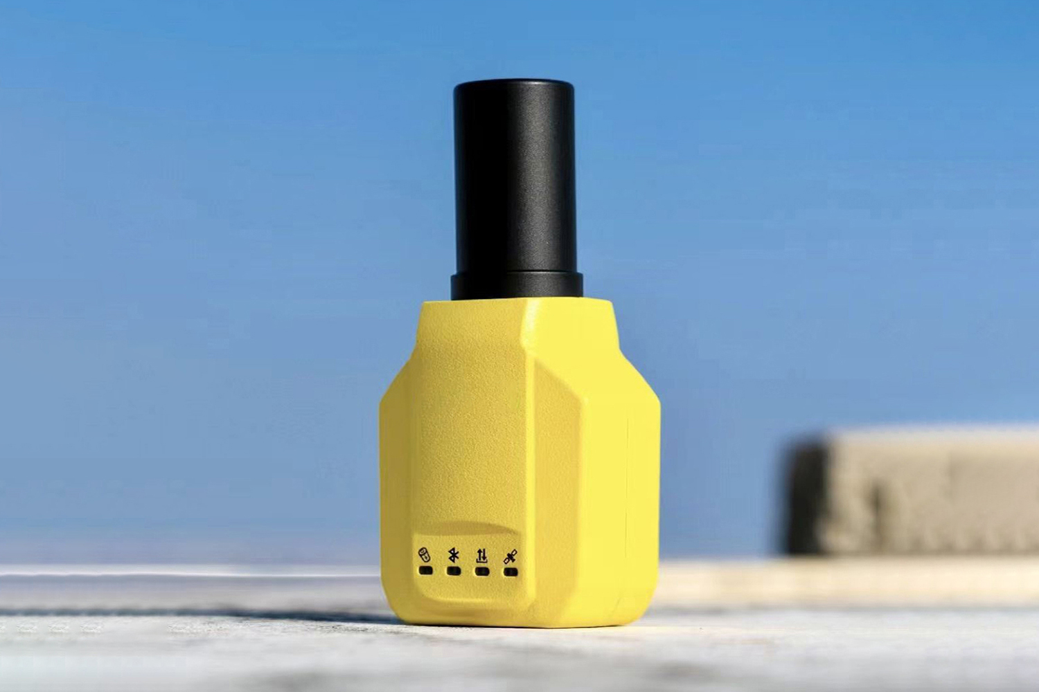
Small, lightweight, affordable receiver with multiple featur...
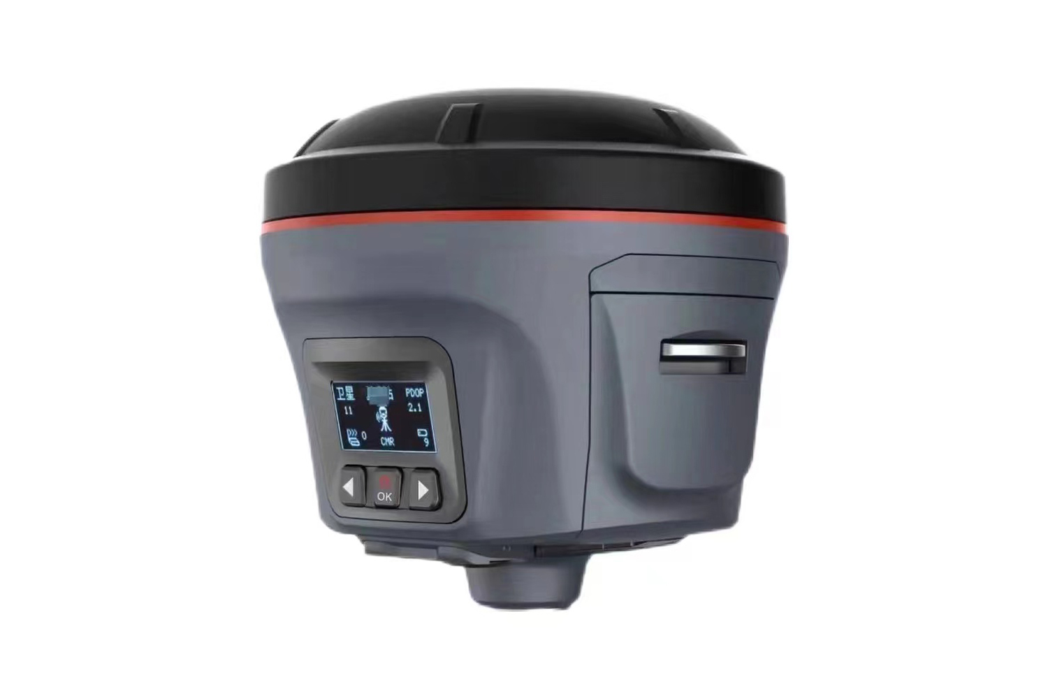
Quick fixed1680 channelsNTRIP Base/RoverCan be paired with a...
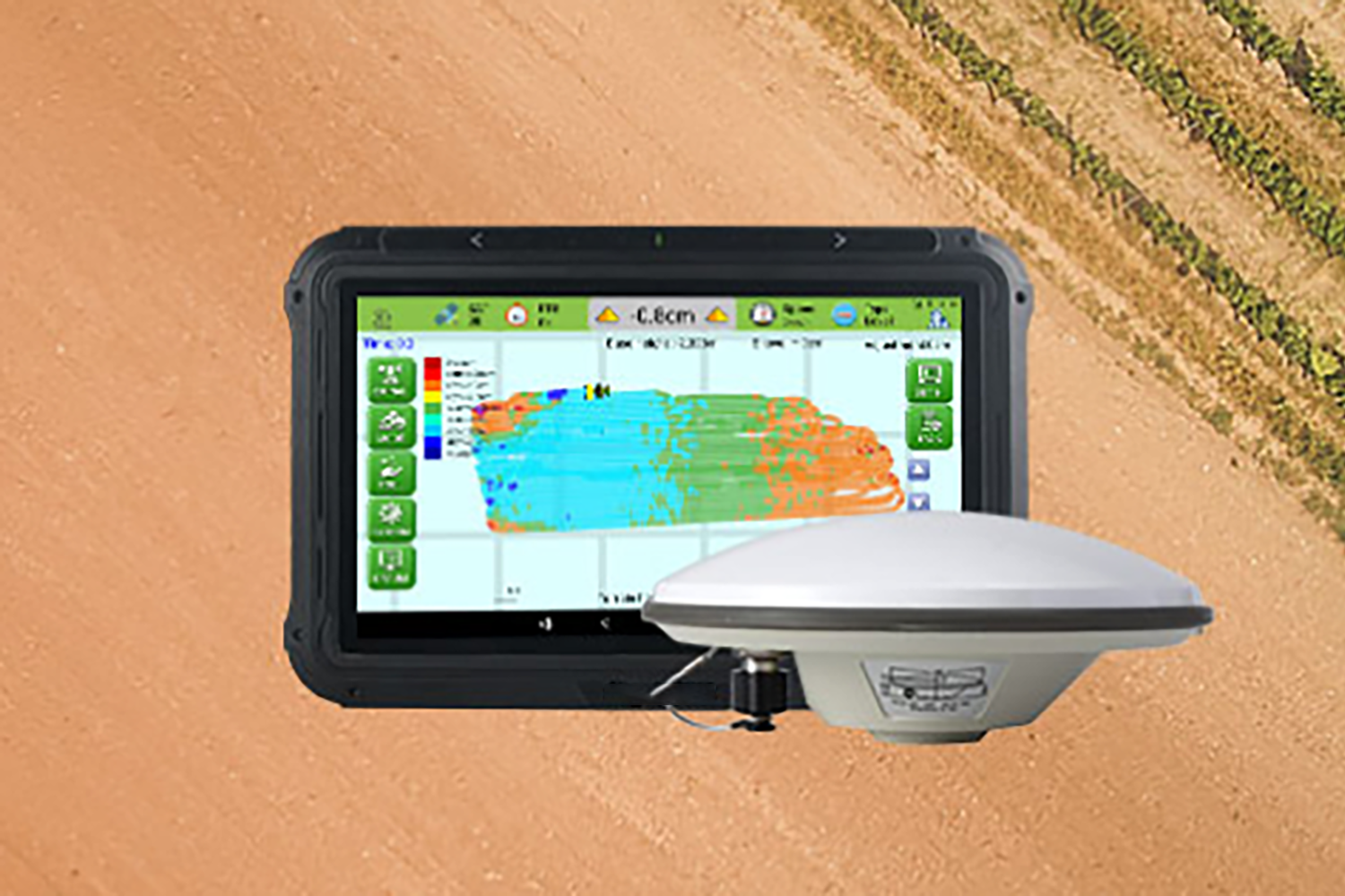
The XC1 RTK is a high-precision GNSS receiver. The system us...


 Download
  surnav.co
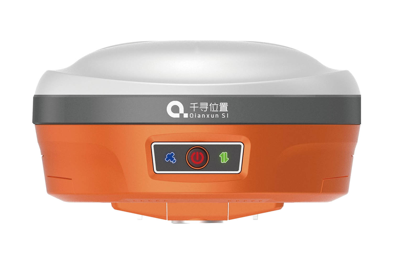
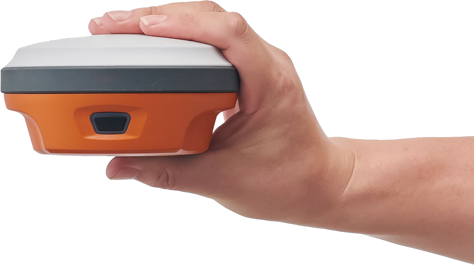
DGPS GNSS RTK
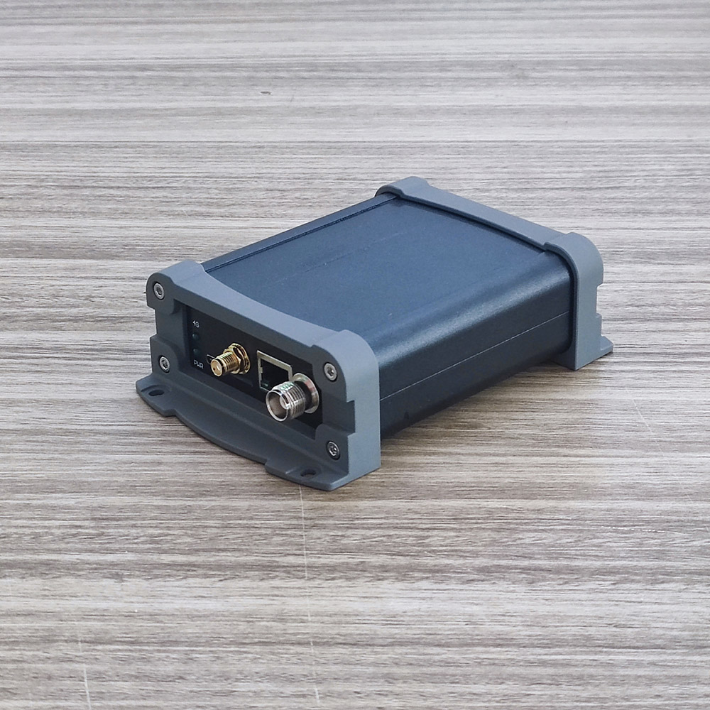
Base Ntrip station-BN01
Rain tree super fixed--SL5 CUBE PLUS
S26
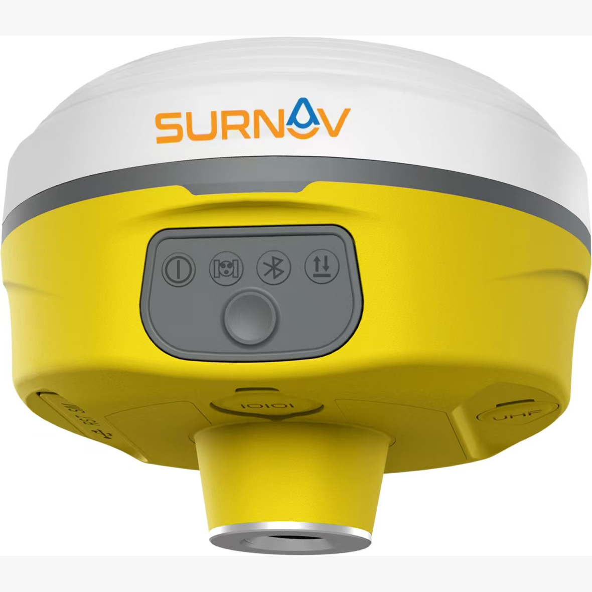
Detachable dual battery PPP mode 1cm accuracy-SR6
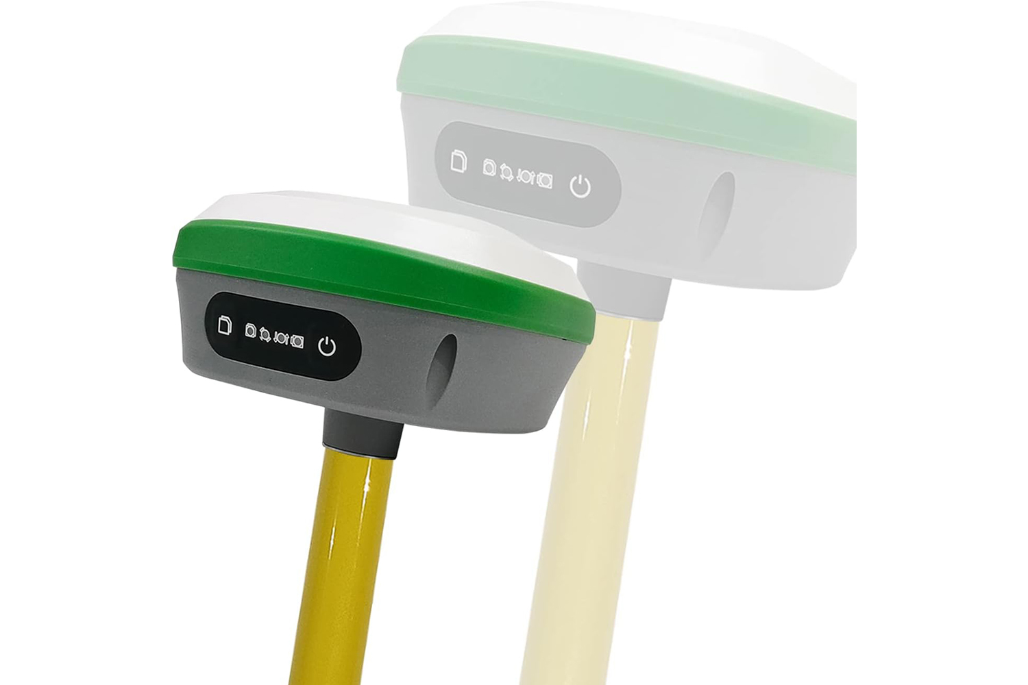
Multi-constellation tracking with stronger signals
1520 channels
High-precision intelligent lMU
Alignment-free during operation, giving you an increase of 30%
Supporting tilt survey up to 60° while achieving 2 cm in survey accuracyCalilbration-free
Local CORS can be used for scenarios with network
the 1+1 self-setup base mode can be used for internal/external radio operationFor areas without network coverage
SR3
All-in-one RTK: Combines multiple functions for a complete surveying solution.
High-Precision IMU: Built-in sensor for improved accuracy.
Alignment-Free Operation: Saves 30% of time and improves safety during surveys
Tilt Surveying: Works even when tilted up to 60 degrees with 2cm accuracy.
Multiple Operation Modes: Adapts to different scenarios with network or no network coverage.
Local CORS support for areas with network.
1+1 self-setup base mode for areas without network (internal/external radio).
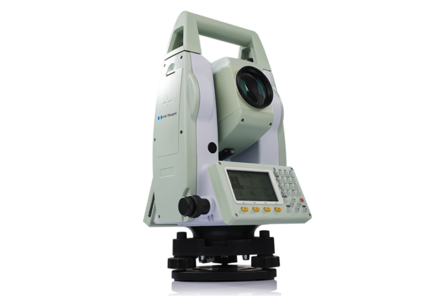
Laser RTK-XL1
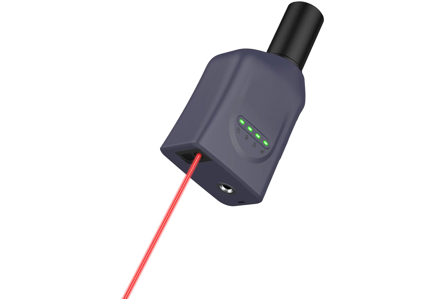
The globally exclusive patented technology for rapid calibration of lasercoordinate measurement easily achieves centimeter level measurementaccuracy,making measurement more accurate and convenient for users.
67
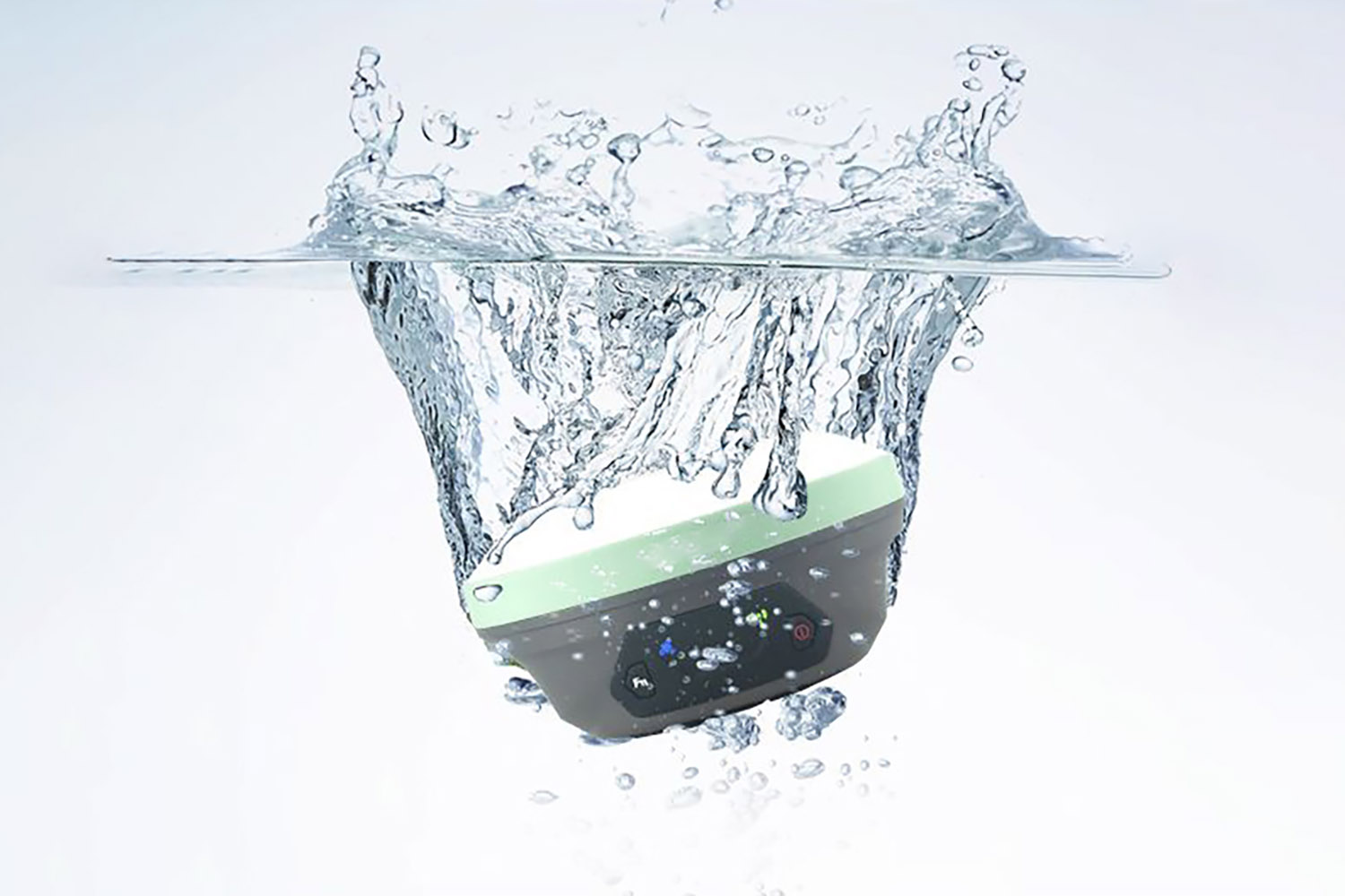
Strictly measuring the P67 waterproof and dustprooflevel, it is sturdy anddurable,fully suitable for harsh outdoor environments.
ter
5-star 16 frequency,1408 channel counts, fixed power on seconds,indicating where to measure
Ulitra low power design, built-in battery can meet the XL1 (light and shadow) workingtime of no less than 12 hours.
Equipped with the fourth generation inertial navigation tilt measurement technology, free fromcalibration and electromagnetic interference
67
Strictly measuring the P67 waterproof and dustprooflevel, it is sturdy anddurable,fully suitable for harsh outdoor environments.
ter
5-star 16 frequency,1408 channel counts, fixed power on seconds,indicating where to measure
Ulitra low power design, built-in battery can meet the XL1 (light and shadow) workingtime of no less than 12 hours.
Equipped with the fourth generation inertial navigation tilt measurement technology, free fromcalibration and electromagnetic interference
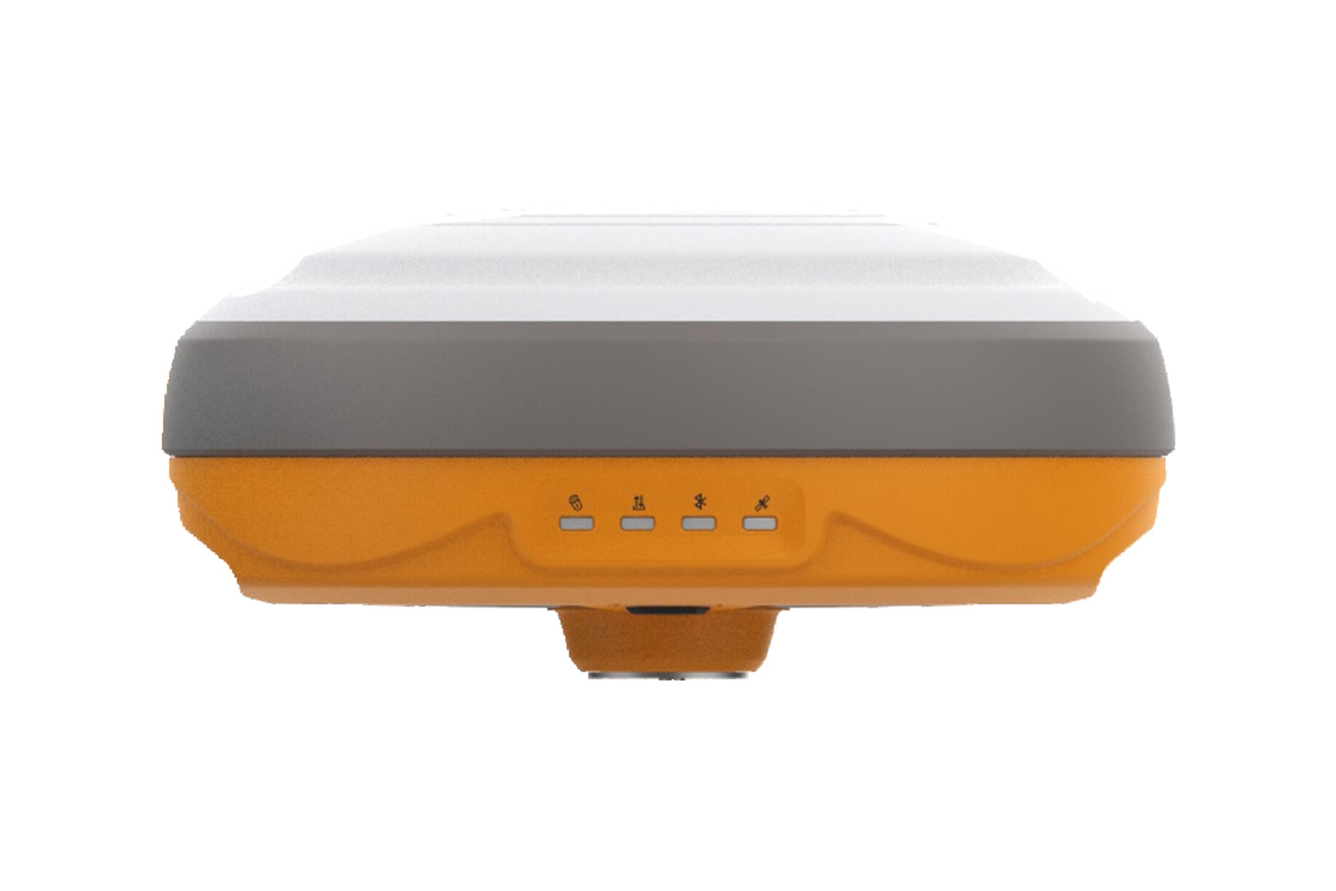
XU1 GNSS RTK
This RTK GNSS receiver delivers centimeter-level accuracy and works with most systems. It has built-in WiFi, cellular, and radio for sending and receiving data.
Key features:
- Highly accurate (centimeter-level)
- Works with most CORS systems
- WiFi, cellular, and radio for data transfer
- Rugged and waterproof
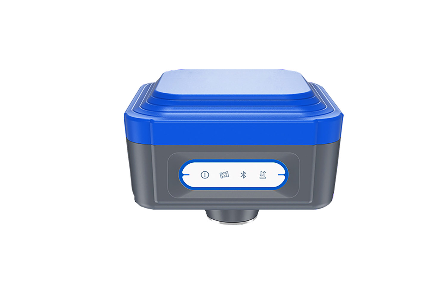
Network NTRIP 1408 channel IMU60-XM1
The XM1 RTK is a powerful, versatile GNSS receiver ideal for a variety of applications. For those who need a highly accurate, reliable and affordable GNSS receiver
X1
X1 RTK Board: Precision on the Go
Unmatched Accuracy: Tracks strong signals across all constellations for centimeter-level precision in seconds, even in tough conditions.
20-Hour Powerhouse: Work all day with the internal battery. Recharge anytime, anywhere with a portable power bank (via Type-C).
Ultimate Connectivity: Connect seamlessly with NFC/Bluetooth, Type-C USB, built-in radio antenna (TNC), external radios (RS232), WiFi, and 4G.
Fast & Precise: Initialize in 5 seconds and measure tilts up to 60° with ±2.5cm accuracy.
Built to Last: IP68-rated design withstands dust, water, and accidental drops.
Rain tree super fixed-XC1 Cube Pro
Seven stars andthirty frequencies
Built-in battery supports15 hours of operation
1680 channels
NTRIP Base/Rover
Can be paired with advanced controler
Qualcomm 865 chip, full touch screen
Radio Base/Rover
Support global 4G
Built-in battery supports15 hours of operation
1680 channels
NTRIP Base/Rover
Can be paired with advanced controler
Qualcomm 865 chip, full touch screen
Radio Base/Rover
Support global 4G
Product Commonality
Contact Us
Email : surnavrtk@gmail.com
Tel : 07424159780
Fax :
Address : 351A HOLLOWAY ROAD LONDON ENGLAND N7 0RN
Tel : 07424159780
Fax :
Address : 351A HOLLOWAY ROAD LONDON ENGLAND N7 0RN


Copyright © SmartSurNav Technology Co., LTD


