


 Download
  surnav.co


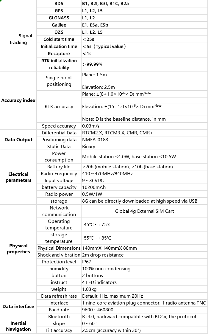
Introducing our cutting-edge surveying and mapping system, designed to meet the demands of modern professionals with unparalleled precision, versatility, and convenience.
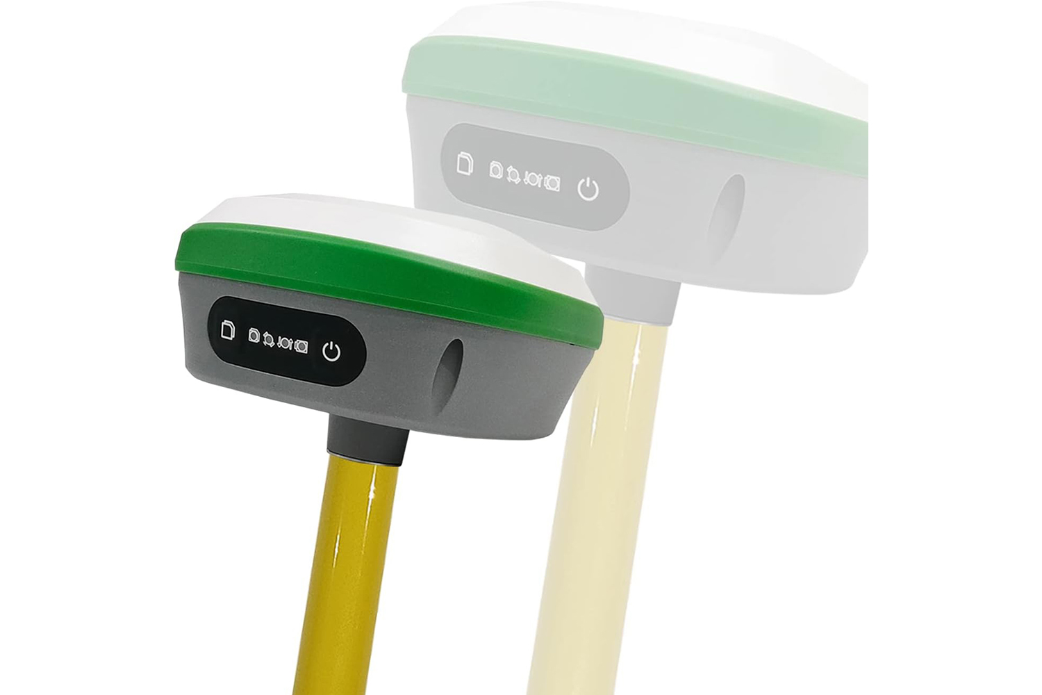
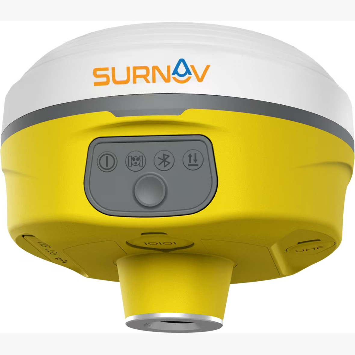
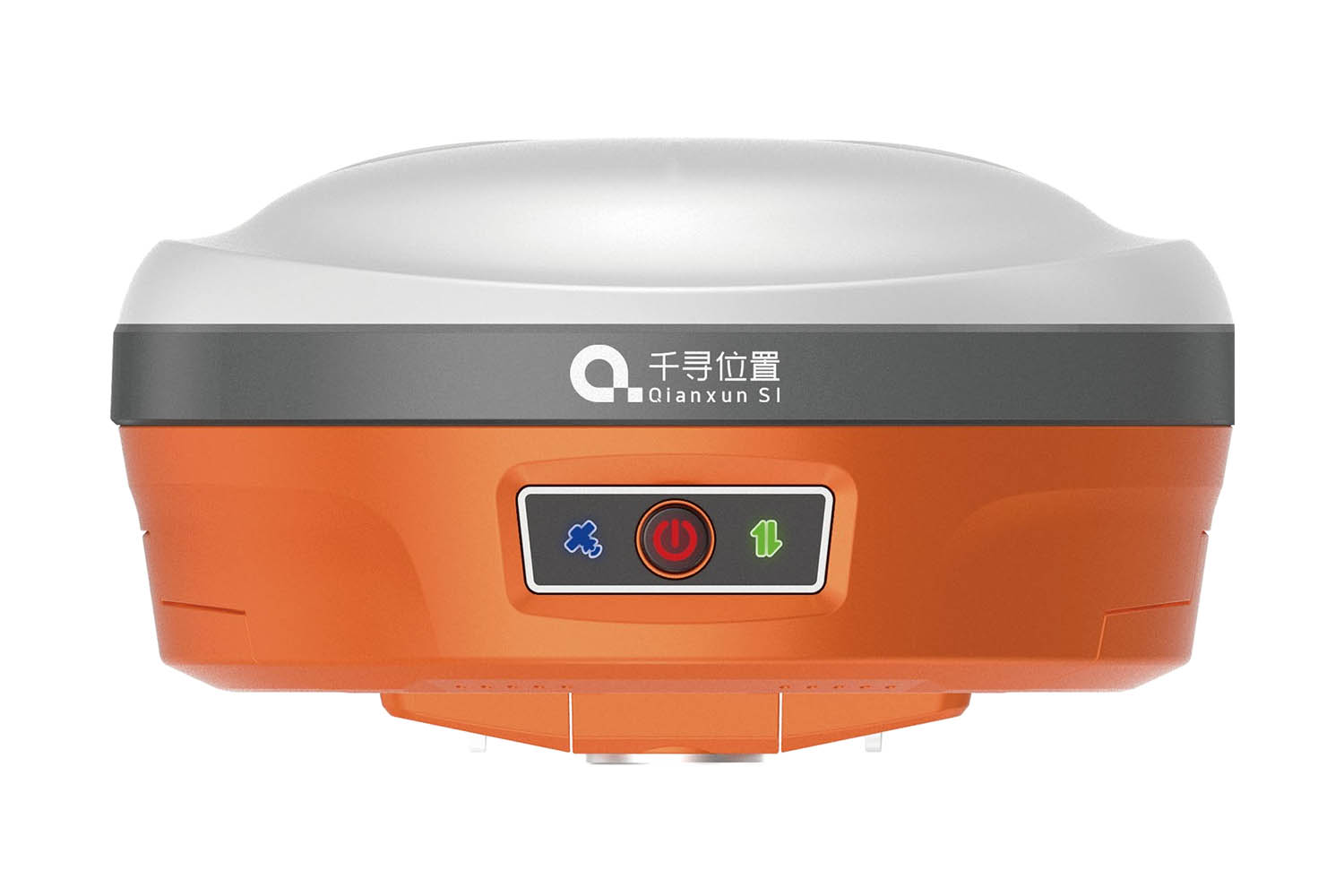
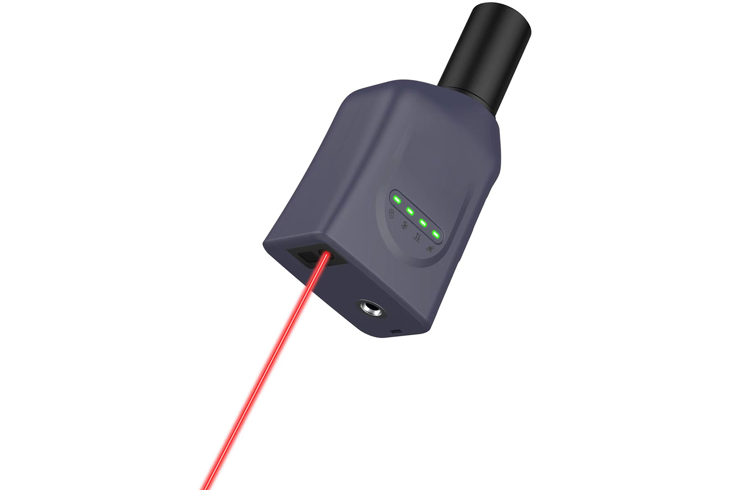
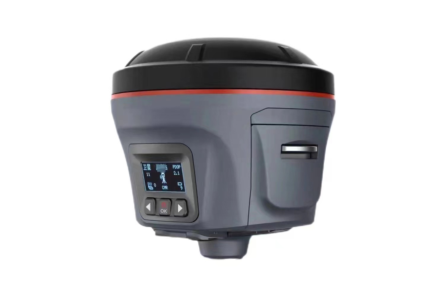
Memory and Versatility: Equipped with an 8GB large-capacity memory card, our system ensures real-time storage of job data, providing seamless workflow management. What sets us apart is the interchangeability between the base station and the mobile station, offering flexibility in the field. Whether it's serving as a base station for centralized control or a mobile station for on-the-go mapping, our system adapts to your needs effortlessly.
Inertial Navigation and Calibration: With a built-in inertial navigation module, our system boasts quick calibration and achieves inertial navigation RTK functionality. This feature not only facilitates tilt measurement but also enhances overall accuracy, crucial for precise mapping tasks.
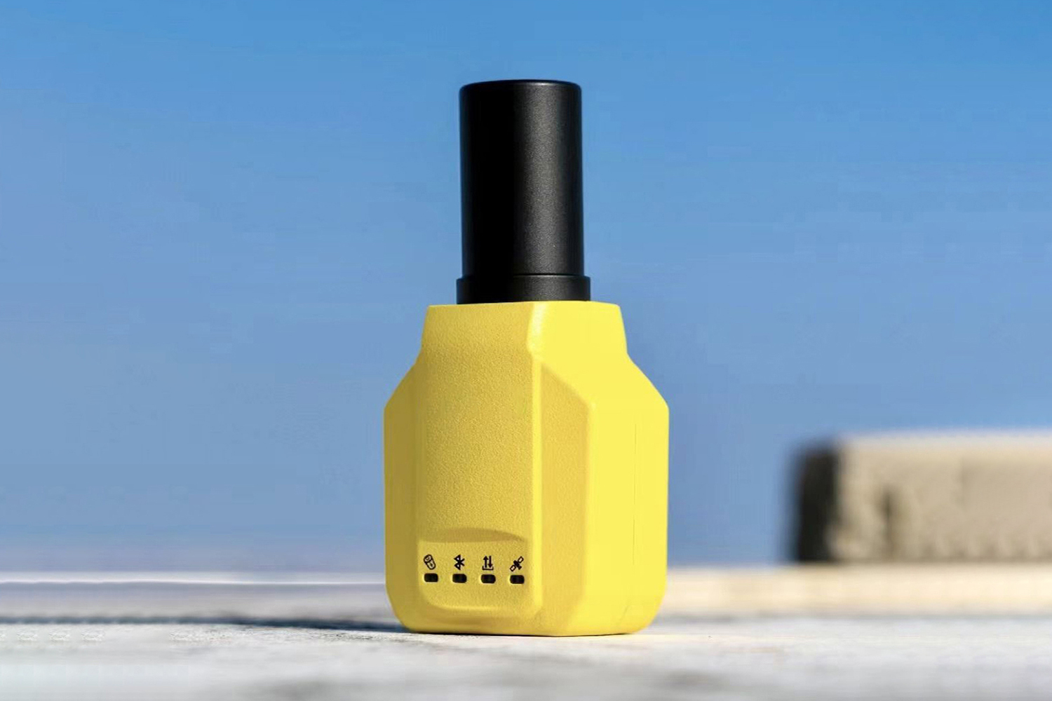
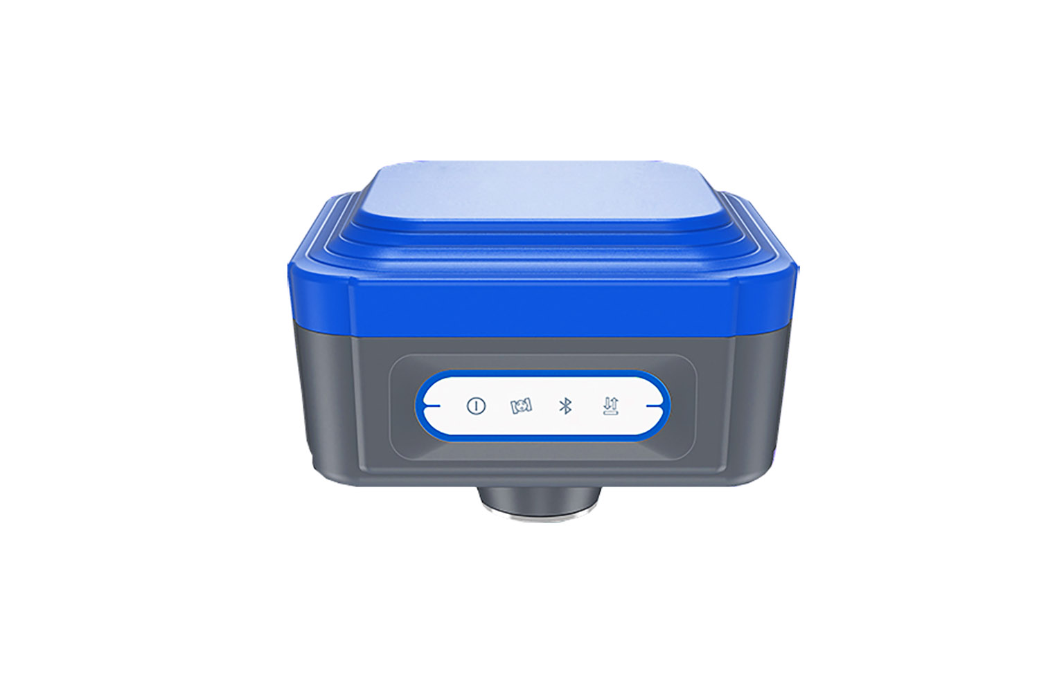
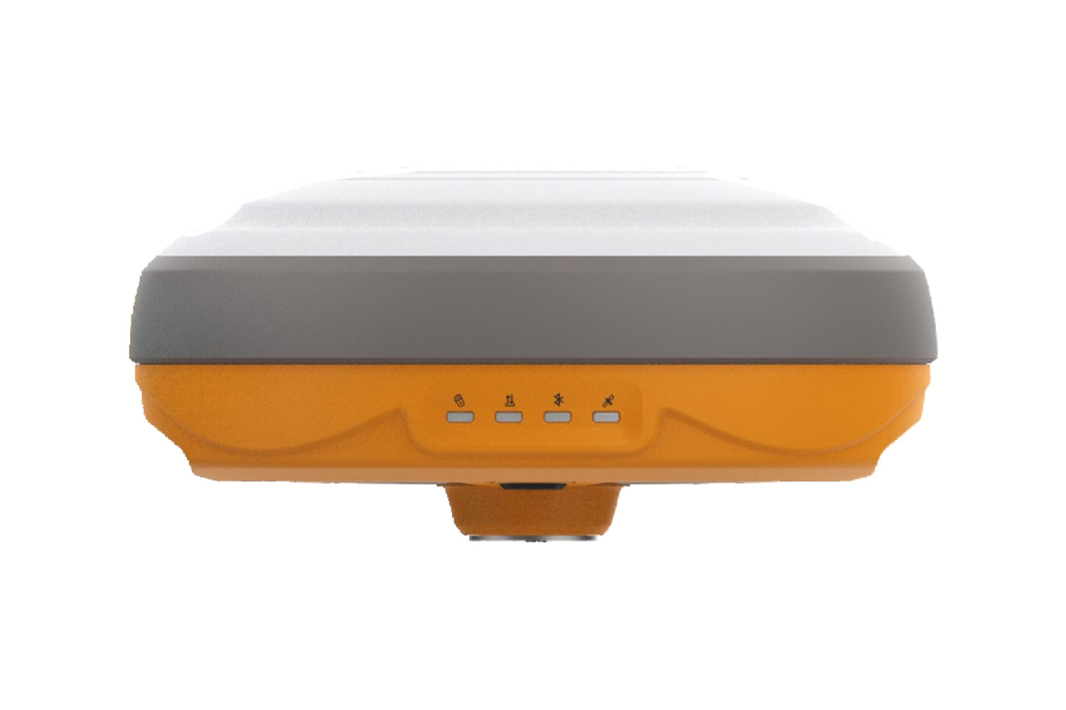
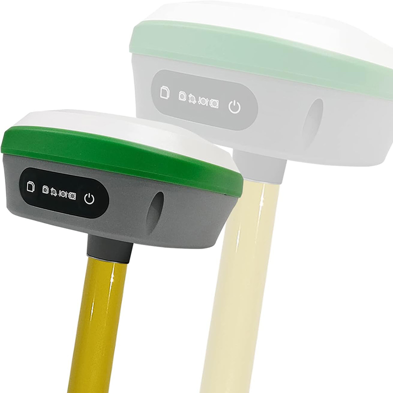
Compact Design and Integration: Despite its compact size, our system packs a punch with high integration capabilities. Integrating large-capacity batteries, inertial navigation modules, GNSS antennas, satellite positioning modules, Bluetooth, 4G modules, radio modules, and storage modules, it offers a comprehensive solution in a single unit, optimizing efficiency in the field.
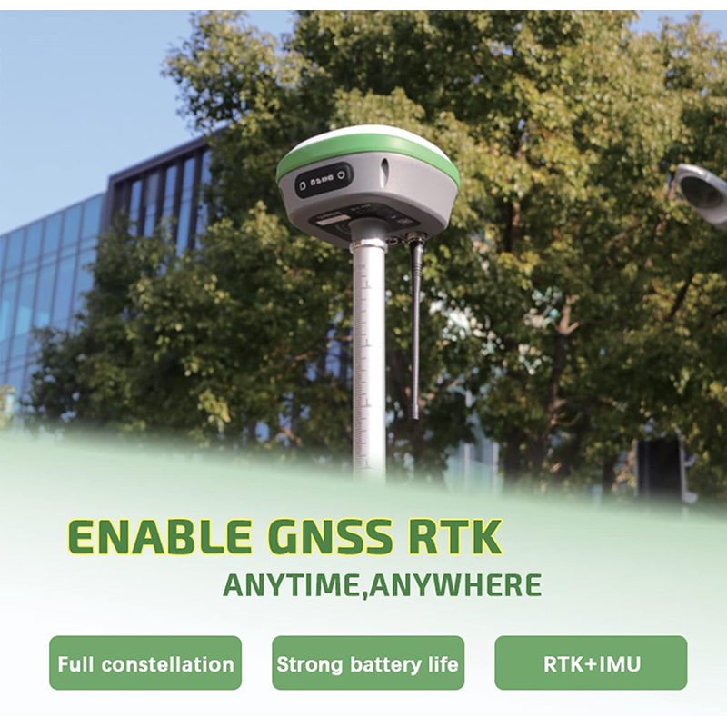
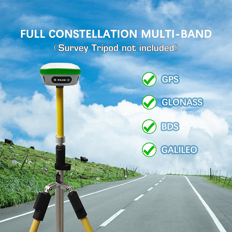
Precision and Efficiency: Leveraging Beidou, GPS, GLONASS, Galileo, and other full-system multi-frequency systems, our system ensures exceptional positioning accuracy across diverse environments. Its low power consumption ensures prolonged operation without compromising on performance, making it ideal for extended fieldwork.
Power Supply and Durability: Supporting a wide voltage range of 9 to 36V DC with reverse polarity protection, our system guarantees reliable power supply in various conditions. Its standard IP67 waterproof and dustproof design ensures durability even in harsh environments, safeguarding your investment for long-term use.
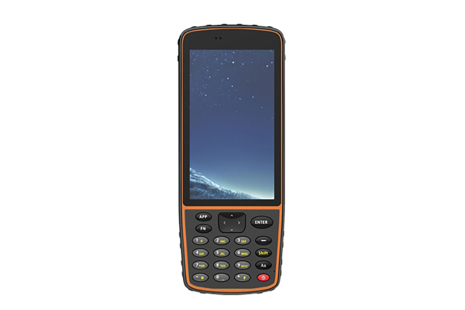
Connectivity and Compatibility: Built-in Bluetooth module, compatible with 2.0 and 4.0, enables seamless data transfer, including differential data transmission. Moreover, our measurement software facilitates CORS connection, measurement, stakeout, and other essential functions, streamlining your workflow with ease.
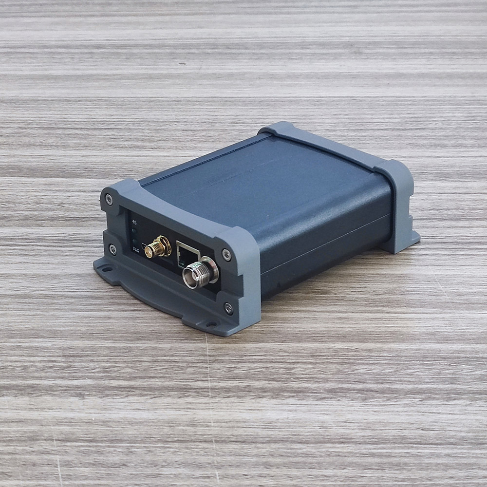
Communication and Range: The built-in transceiver integrated radio module supports multiple communication protocols, including transparent transmission and TRIMTALK protocol, ensuring seamless compatibility with GNSS radios from different manufacturers. With a maximum transmit power of 1W, it achieves reliable data communication over distances ranging from 1 to 4 kilometers, ensuring uninterrupted connectivity in the field.
In summary, our surveying and mapping system embodies innovation, reliability, and efficiency, empowering professionals to tackle complex tasks with confidence and precision. With its robust features and intuitive design, it's the ultimate companion for professionals seeking excellence in their field.
Introducing our cutting-edge surveying and mapping system, designed to meet the demands of modern professionals with unparalleled precision, versatility, and convenience.
Memory and Versatility: Equipped with an 8GB large-capacity memory card, our system ensures real-time storage of job data, providing seamless workflow management. What sets us apart is the interchangeability between the base station and the mobile station, offering flexibility in the field. Whether it's serving as a base station for centralized control or a mobile station for on-the-go mapping, our system adapts to your needs effortlessly.
Inertial Navigation and Calibration: With a built-in inertial navigation module, our system boasts quick calibration and achieves inertial navigation RTK functionality. This feature not only facilitates tilt measurement but also enhances overall accuracy, crucial for precise mapping tasks.
Compact Design and Integration: Despite its compact size, our system packs a punch with high integration capabilities. Integrating large-capacity batteries, inertial navigation modules, GNSS antennas, satellite positioning modules, Bluetooth, 4G modules, radio modules, and storage modules, it offers a comprehensive solution in a single unit, optimizing efficiency in the field.
Precision and Efficiency: Leveraging Beidou, GPS, GLONASS, Galileo, and other full-system multi-frequency systems, our system ensures exceptional positioning accuracy across diverse environments. Its low power consumption ensures prolonged operation without compromising on performance, making it ideal for extended fieldwork.
Power Supply and Durability: Supporting a wide voltage range of 9 to 36V DC with reverse polarity protection, our system guarantees reliable power supply in various conditions. Its standard IP67 waterproof and dustproof design ensures durability even in harsh environments, safeguarding your investment for long-term use.
Connectivity and Compatibility: Built-in Bluetooth module, compatible with 2.0 and 4.0, enables seamless data transfer, including differential data transmission. Moreover, our measurement software facilitates CORS connection, measurement, stakeout, and other essential functions, streamlining your workflow with ease.
Communication and Range: The built-in transceiver integrated radio module supports multiple communication protocols, including transparent transmission and TRIMTALK protocol, ensuring seamless compatibility with GNSS radios from different manufacturers. With a maximum transmit power of 1W, it achieves reliable data communication over distances ranging from 1 to 4 kilometers, ensuring uninterrupted connectivity in the field.
In summary, our surveying and mapping system embodies innovation, reliability, and efficiency, empowering professionals to tackle complex tasks with confidence and precision. With its robust features and intuitive design, it's the ultimate companion for professionals seeking excellence in their field.