
Products
 Data download
Product Classification
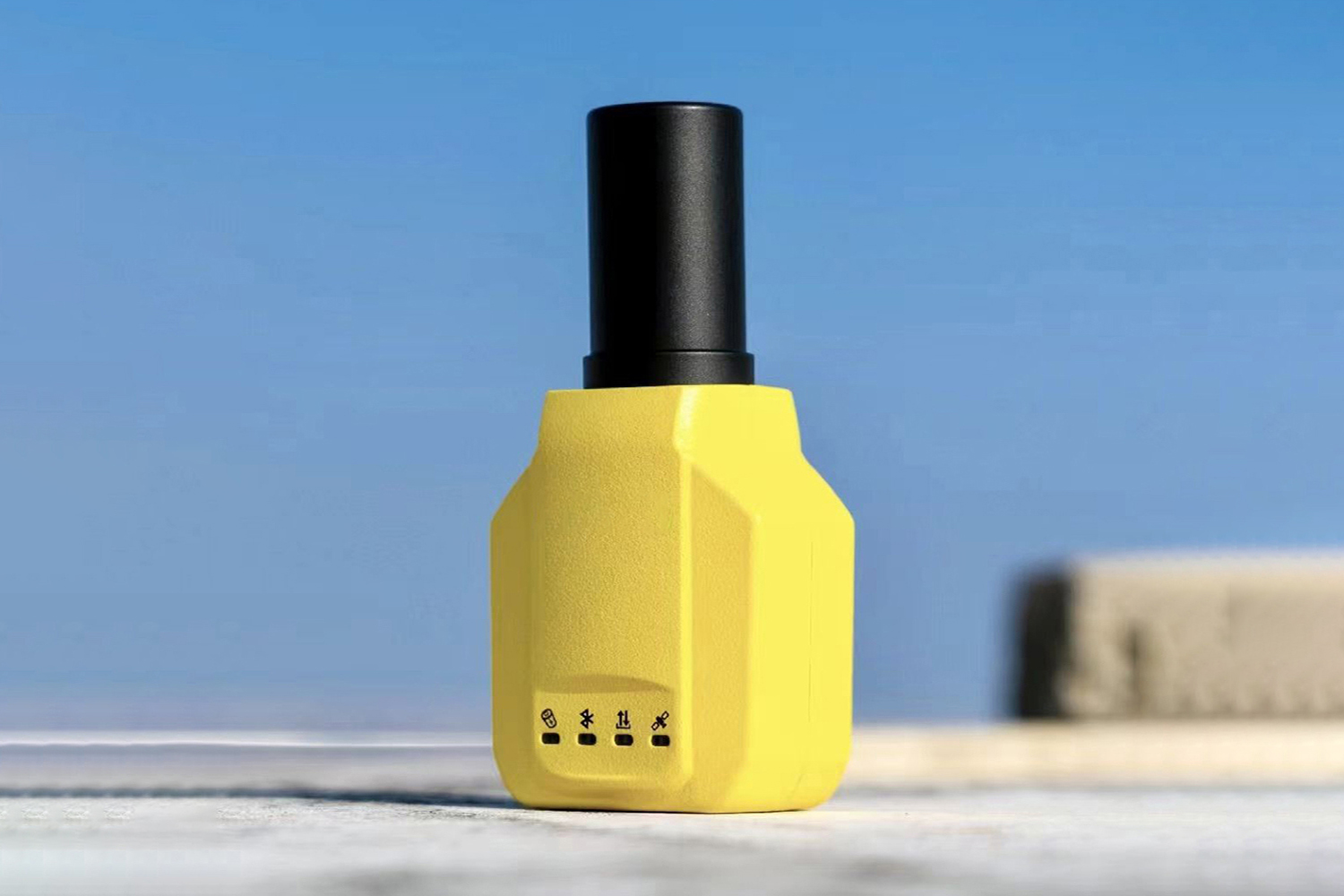
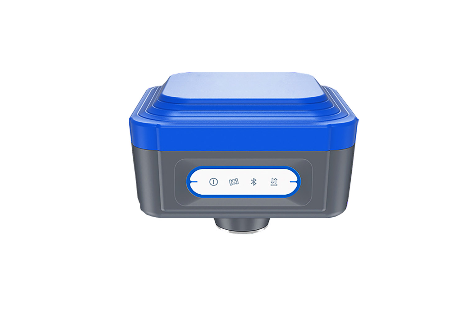
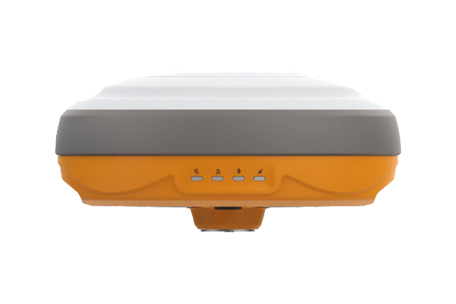
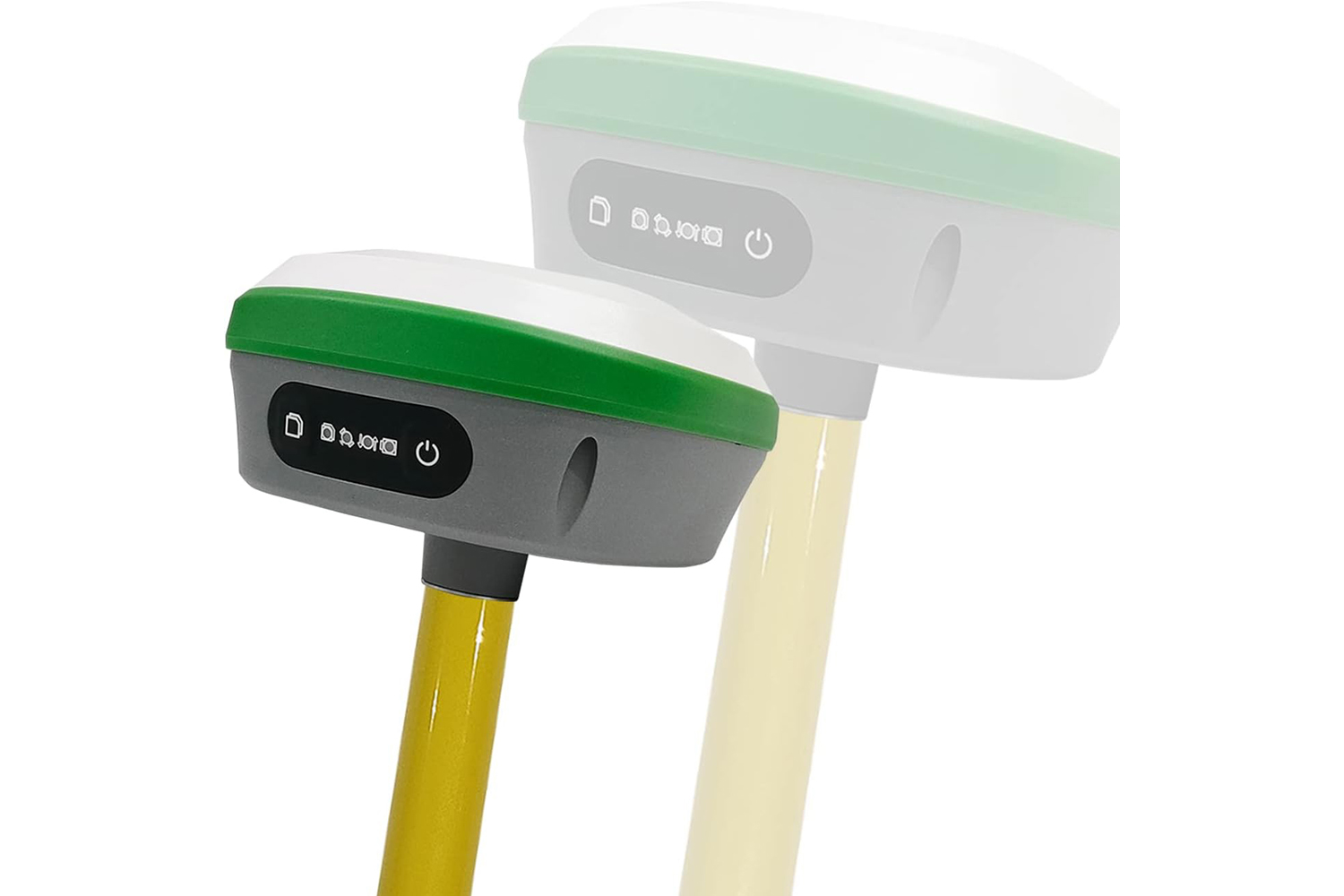
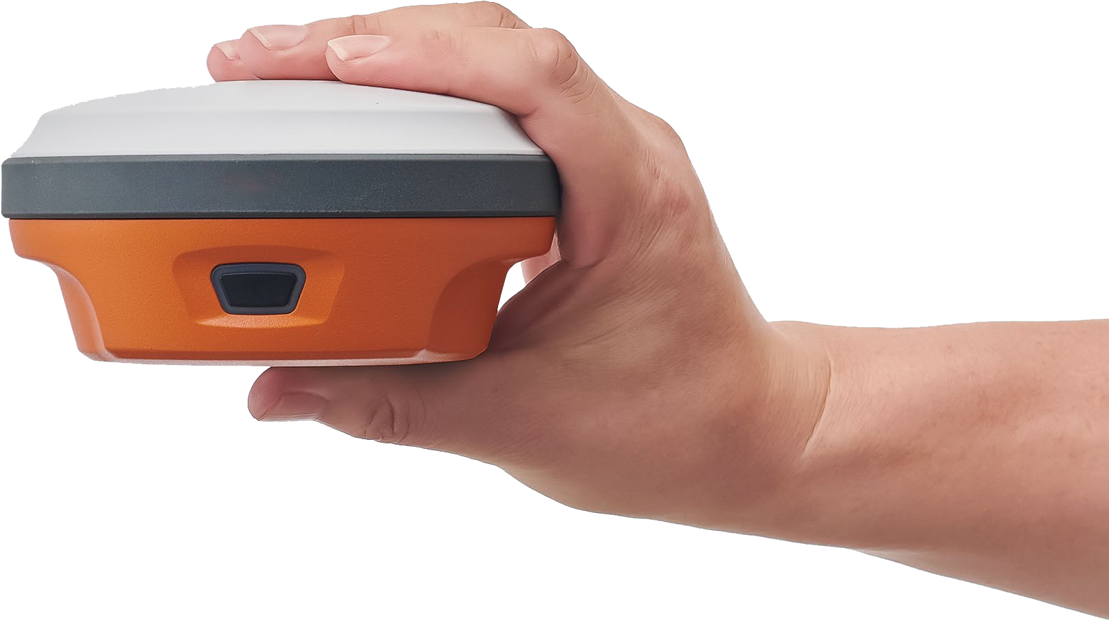
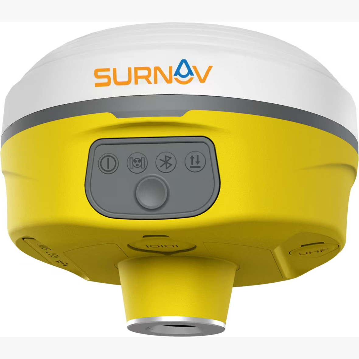
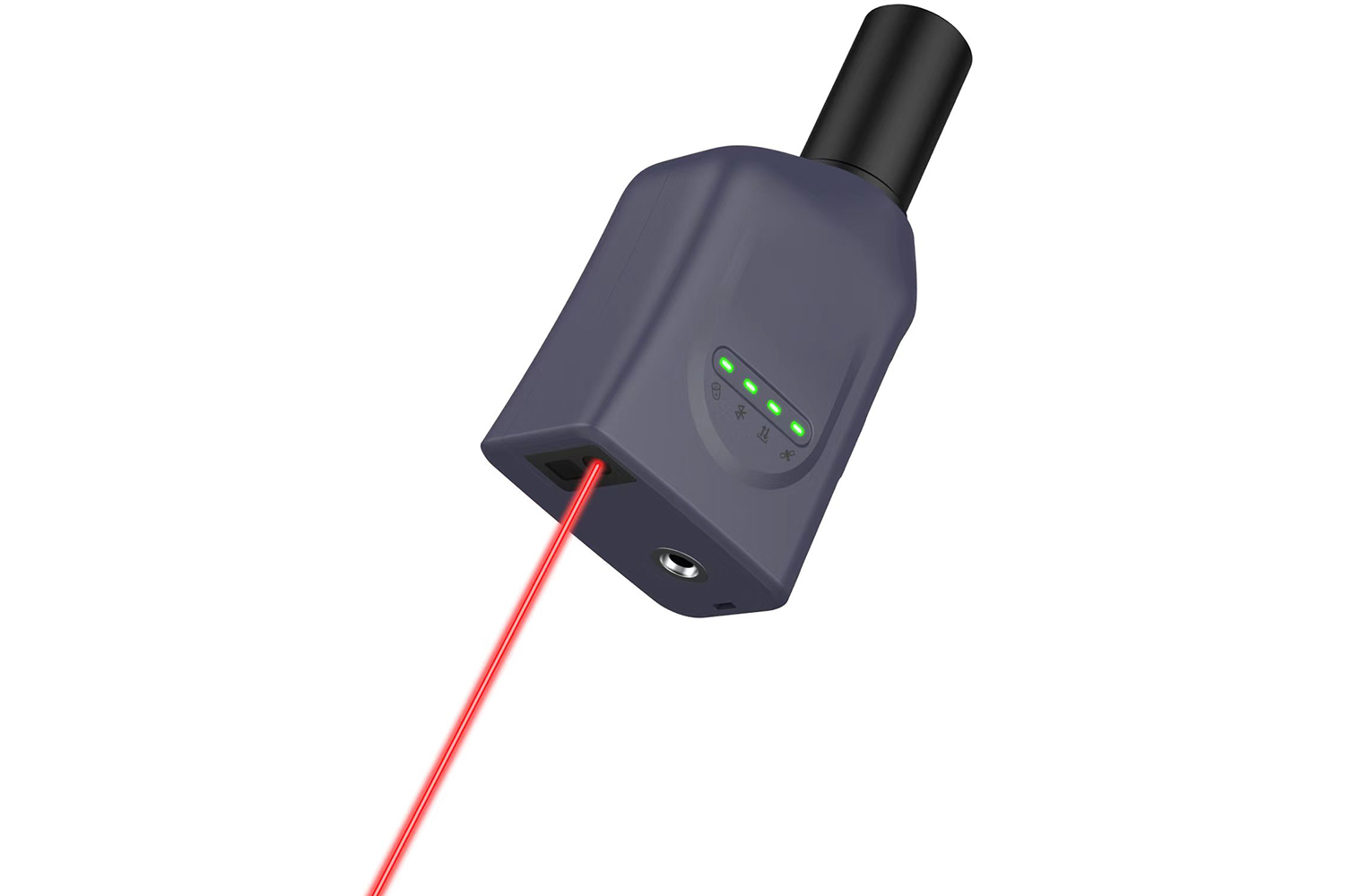
Small, lightweight, affordable receiver with multiple featur...
Quick fixed1680 channelsNTRIP Base/RoverCan be paired with a...
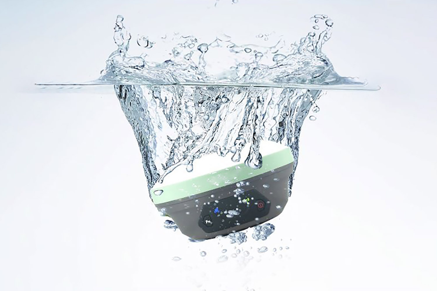
The XC1 RTK is a high-precision GNSS receiver. The system us...


 Download
  surnav.co
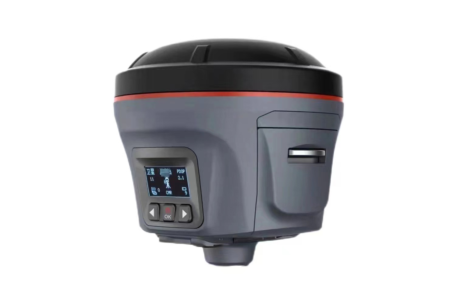
Total Station
Product Commonality
Contact Us
Email : surnavrtk@gmail.com
Tel : 07424159780
Fax :
Address : 351A HOLLOWAY ROAD LONDON ENGLAND N7 0RN
Tel : 07424159780
Fax :
Address : 351A HOLLOWAY ROAD LONDON ENGLAND N7 0RN


Copyright © SmartSurNav Technology Co., LTD


