
Products
 Data download
Product Classification
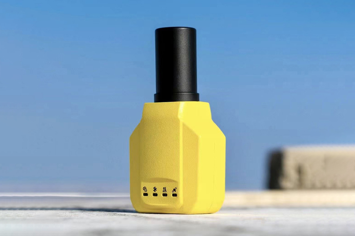
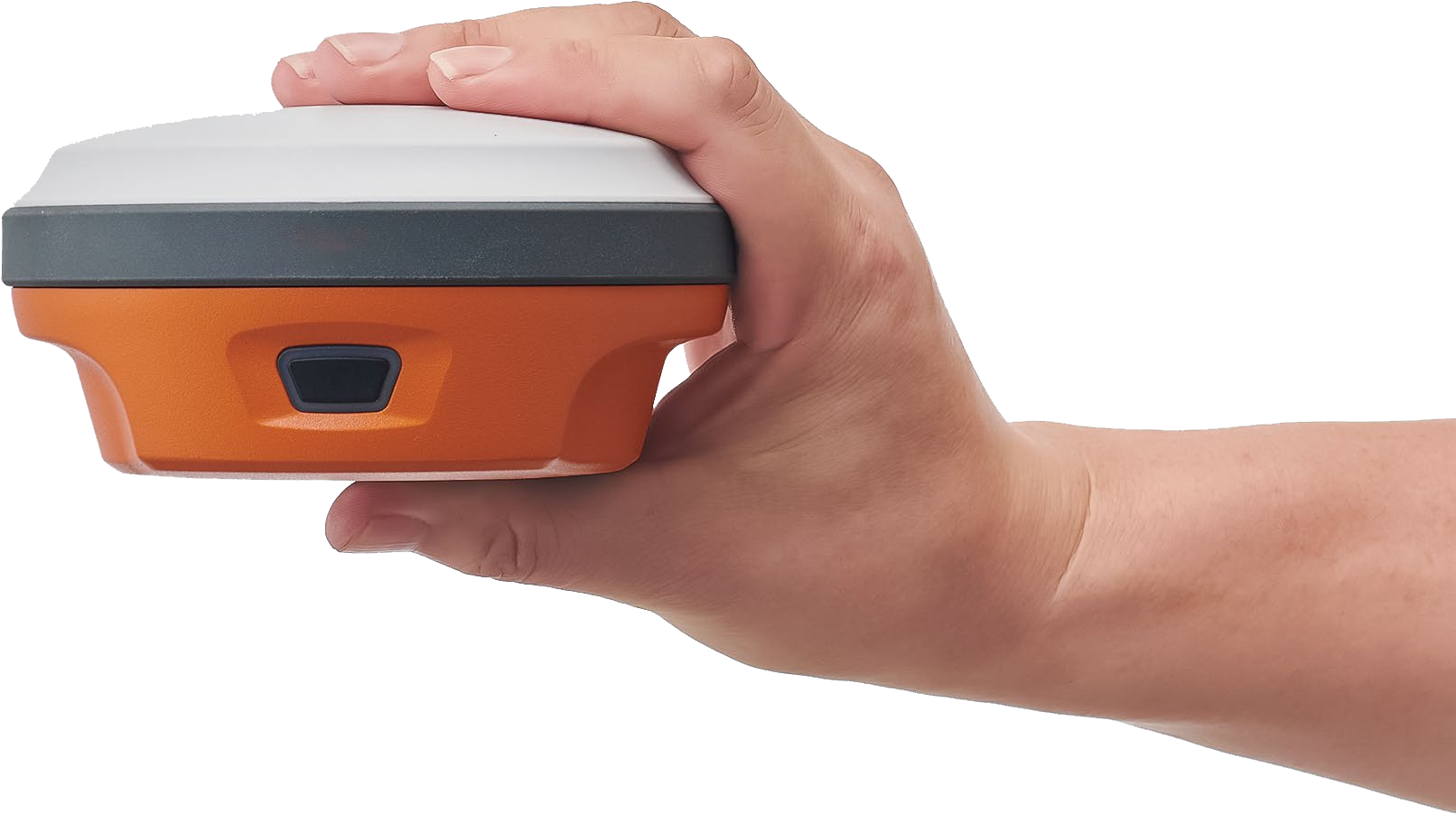
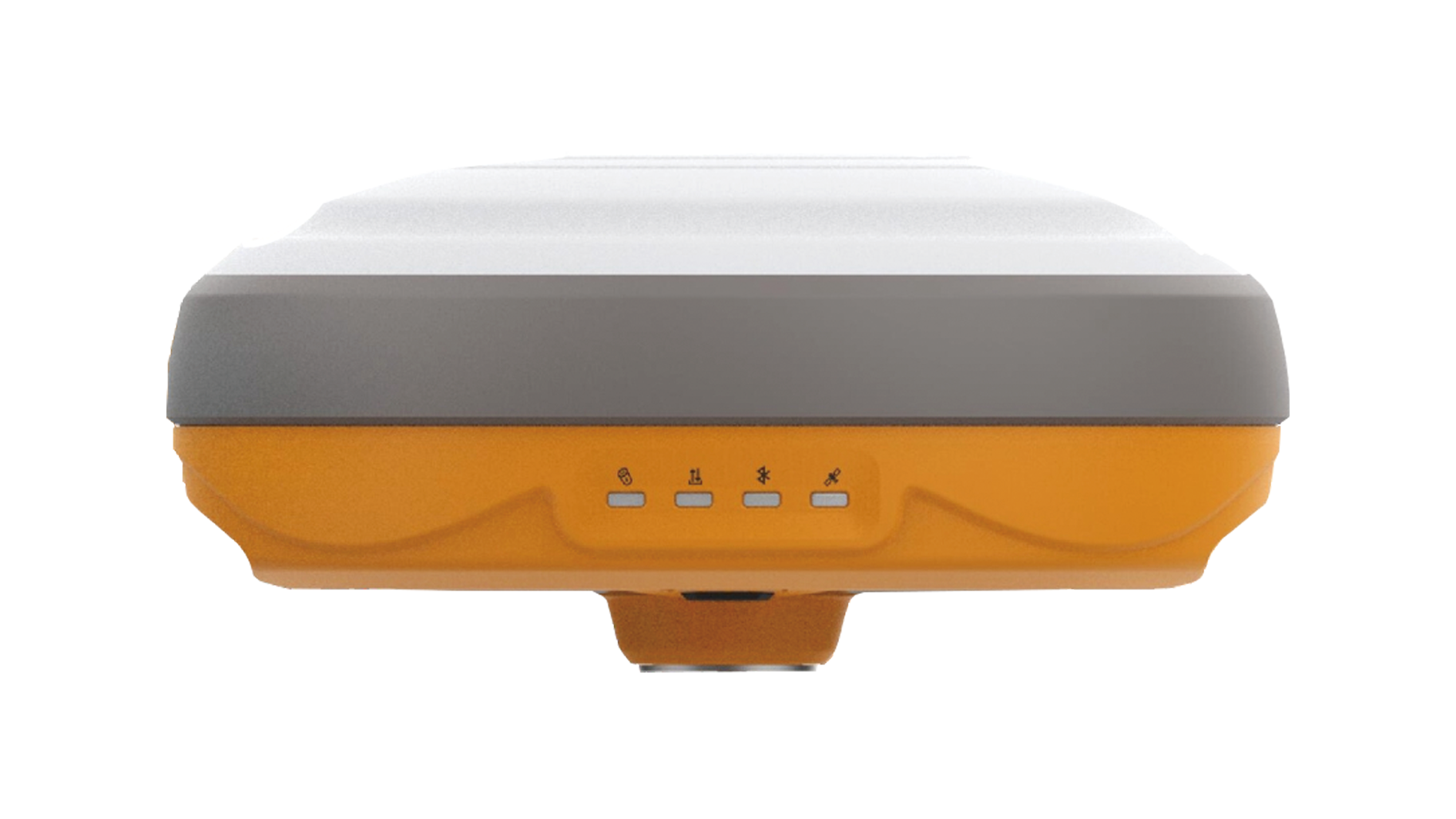
Small, lightweight, affordable receiver with multiple featur...
Quick fixed1680 channelsNTRIP Base/RoverCan be paired with a...
The XC1 RTK is a high-precision GNSS receiver. The system us...


 Download
  surnav.co
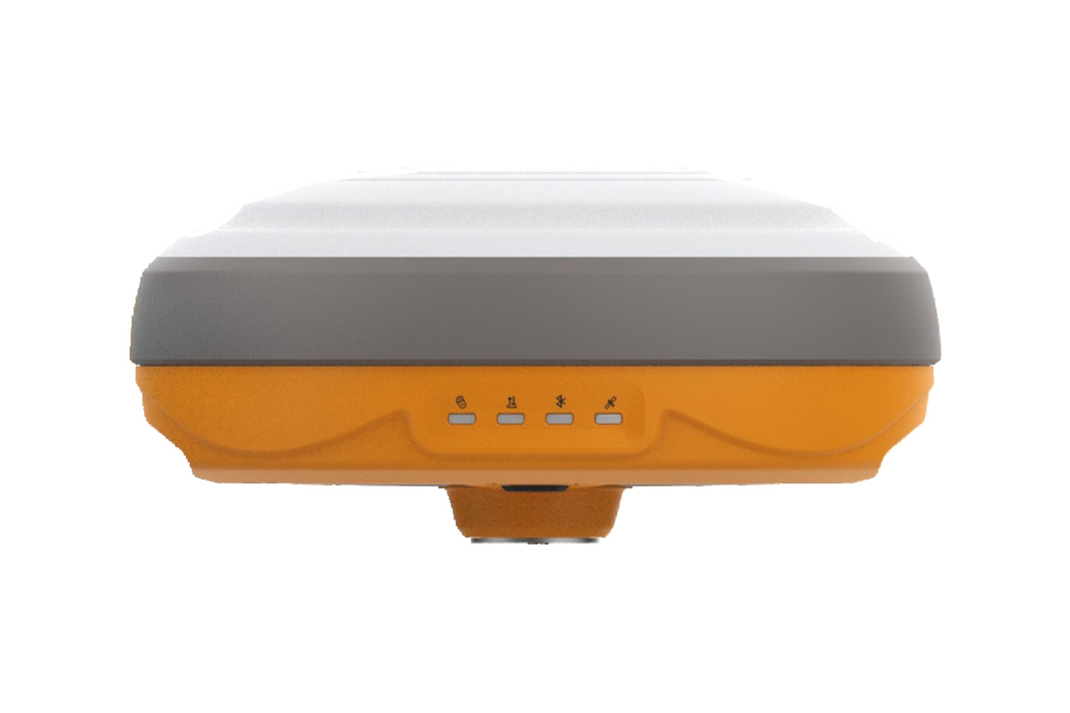
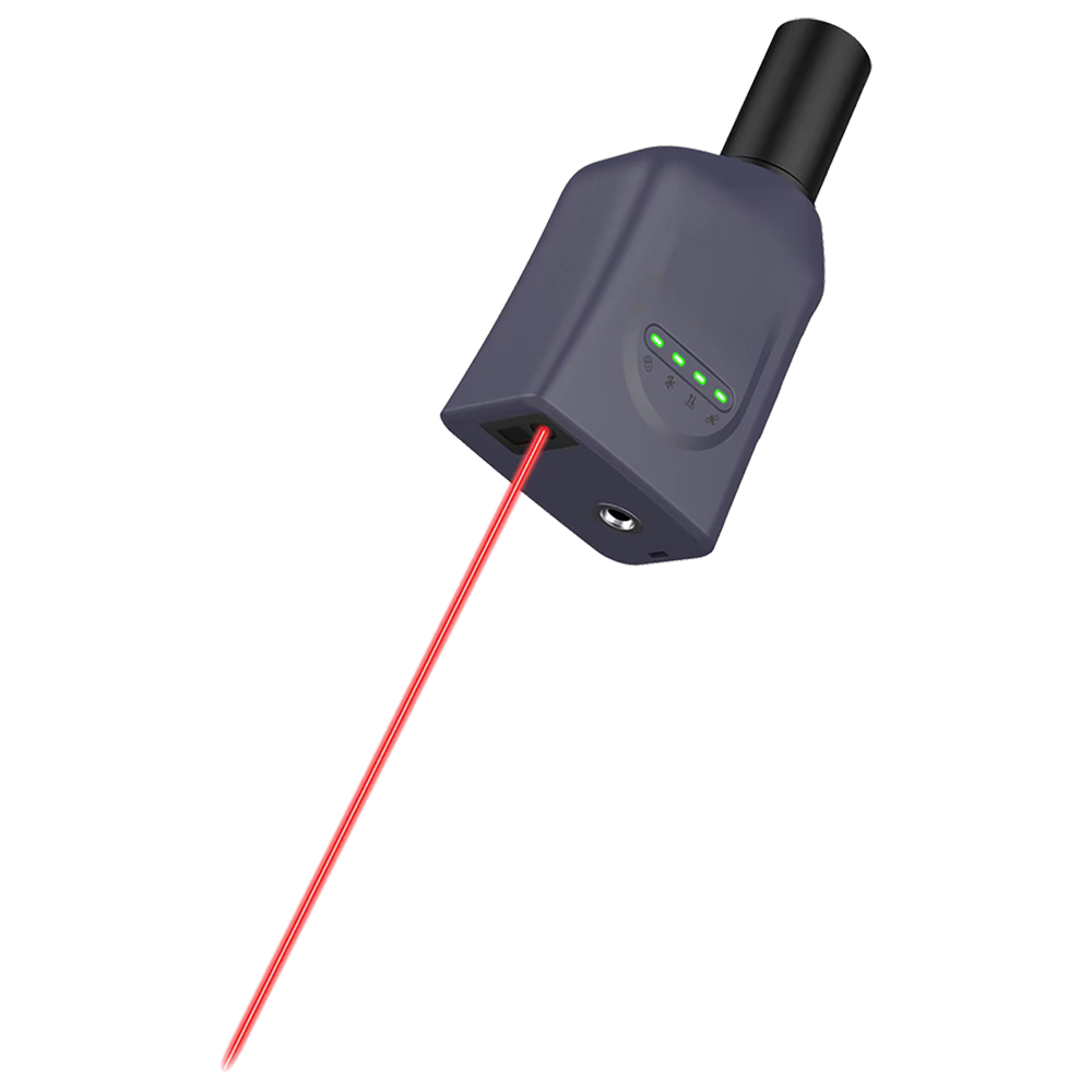
Economical RTK
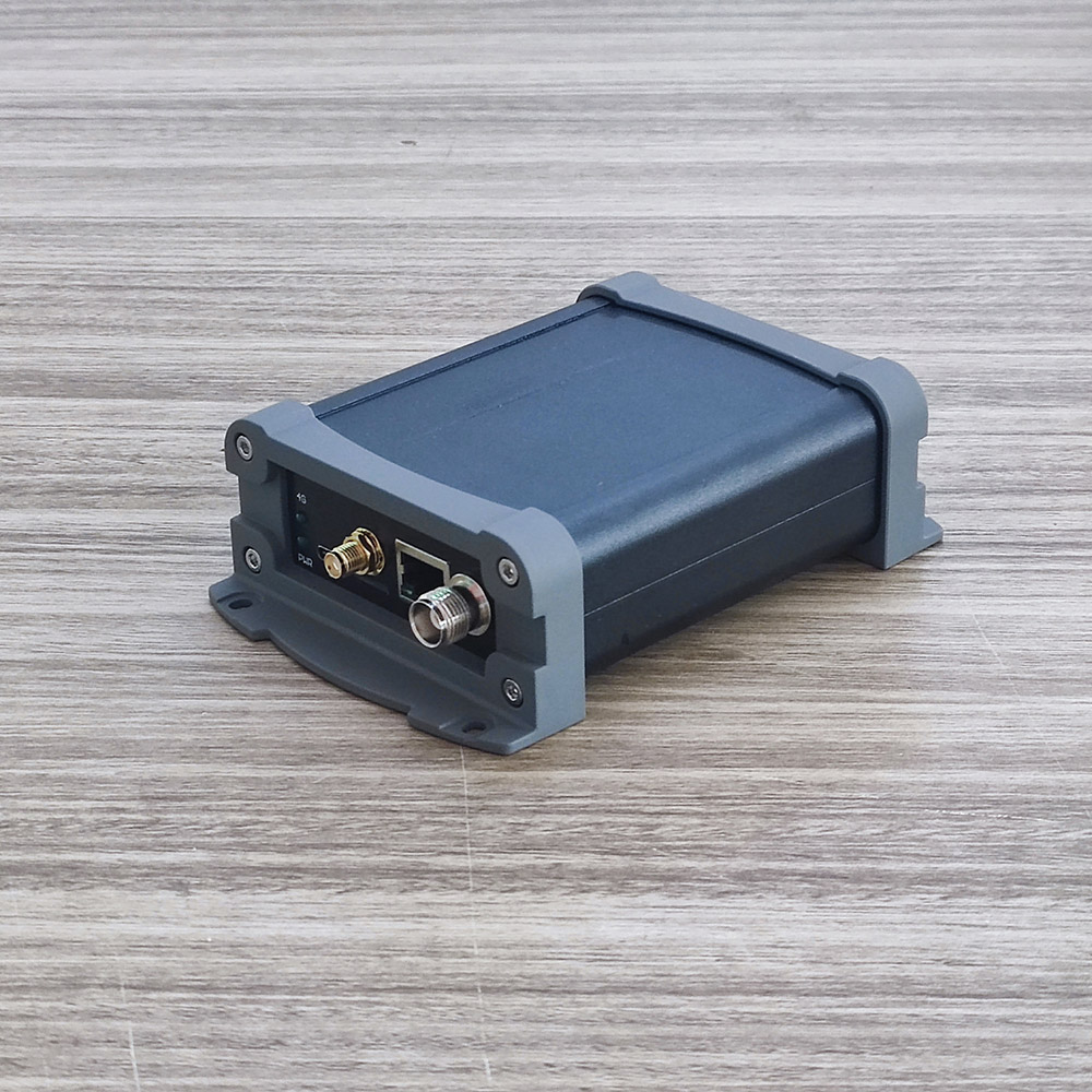
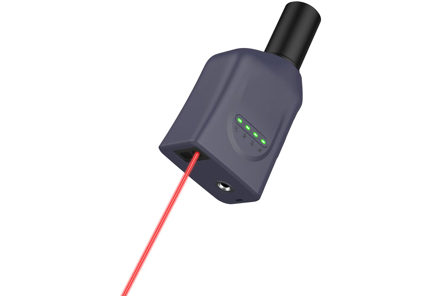
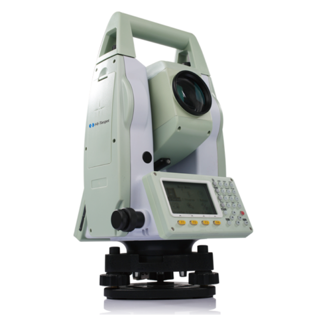
Serial to Ethernet converters connect devices with an RS232, can be used in engineering survey lofting, earthwork survey, terrain mapping and other places of operation needs, for the majority of surveyors to provide stable equipment and solutions
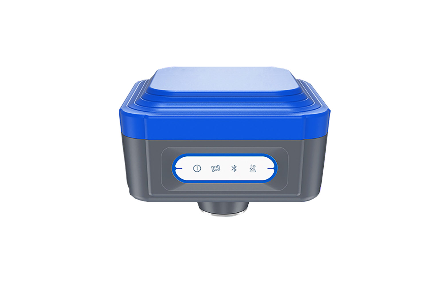
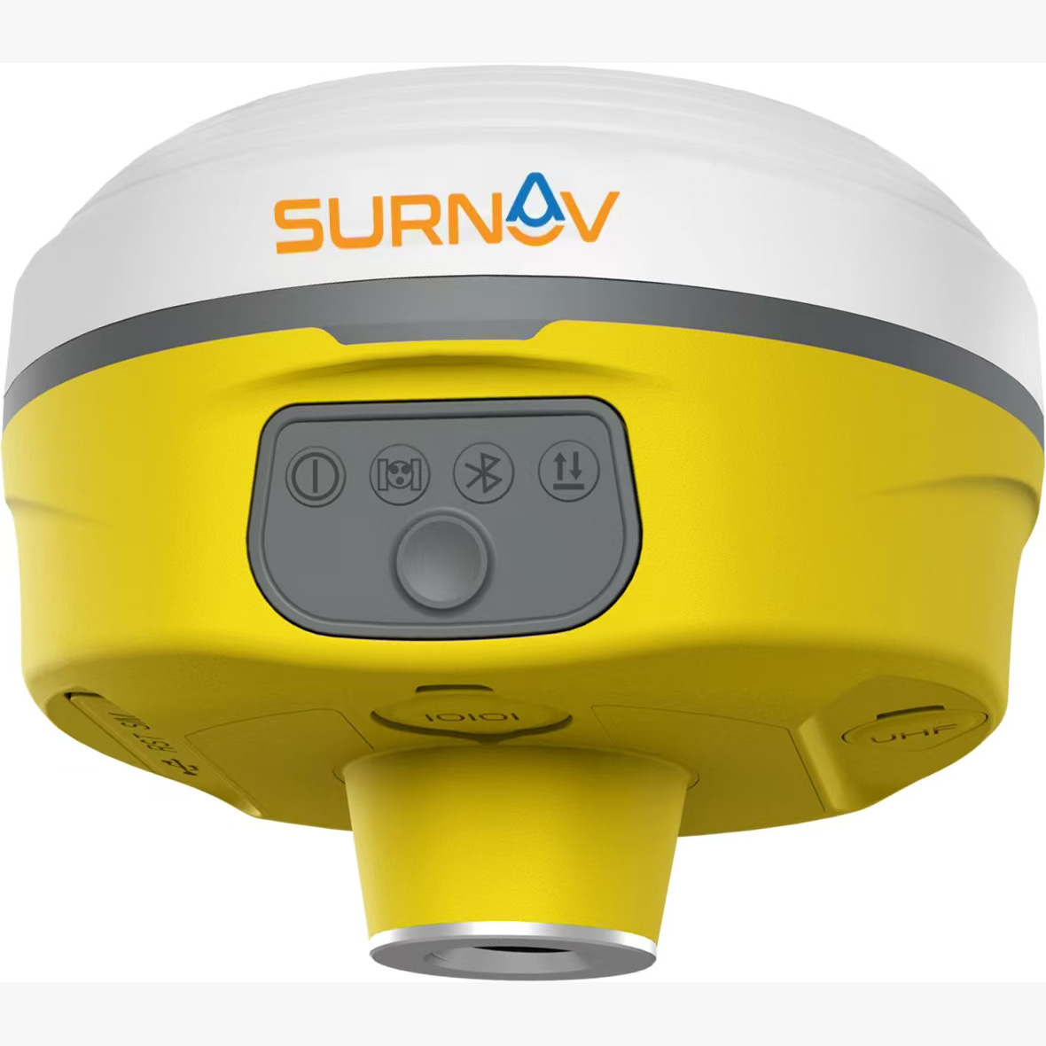
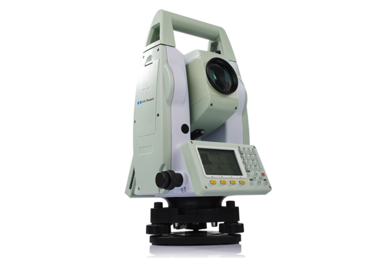
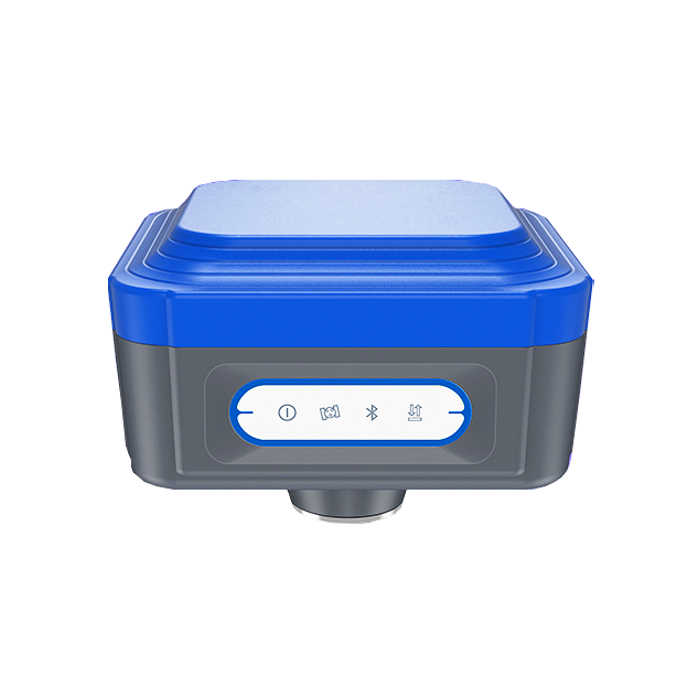
Conventional RTK
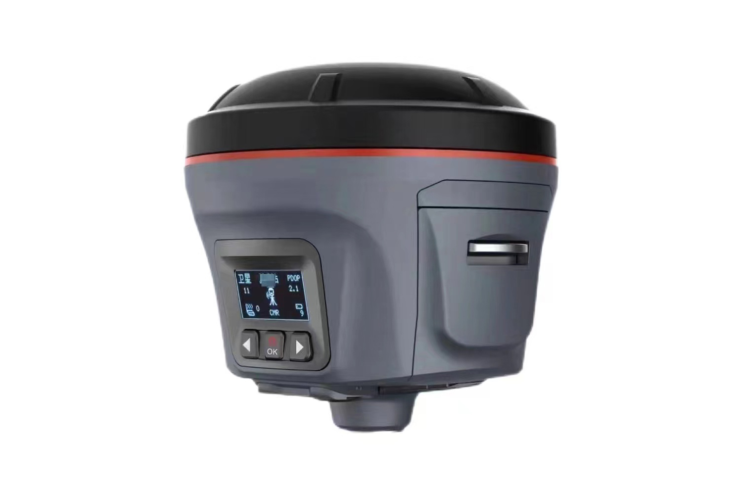
The cubic RTK high-precision satellite locator is a high-precision satellite positioning device using the latest technical
solutions. It can be used as a reference station or a measurement station.
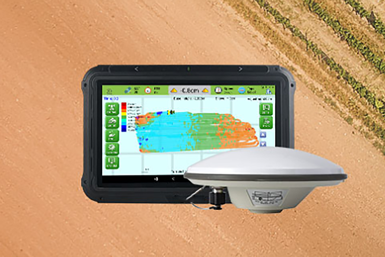
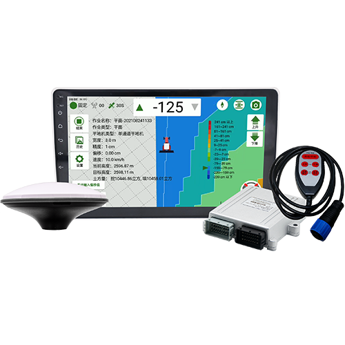
Land leveling
Based on high precision satellite positioning data, the hydraulic valve of the grader is automatically controlled to improve the working efficiency, which is suitable for flat and inclined surface work.
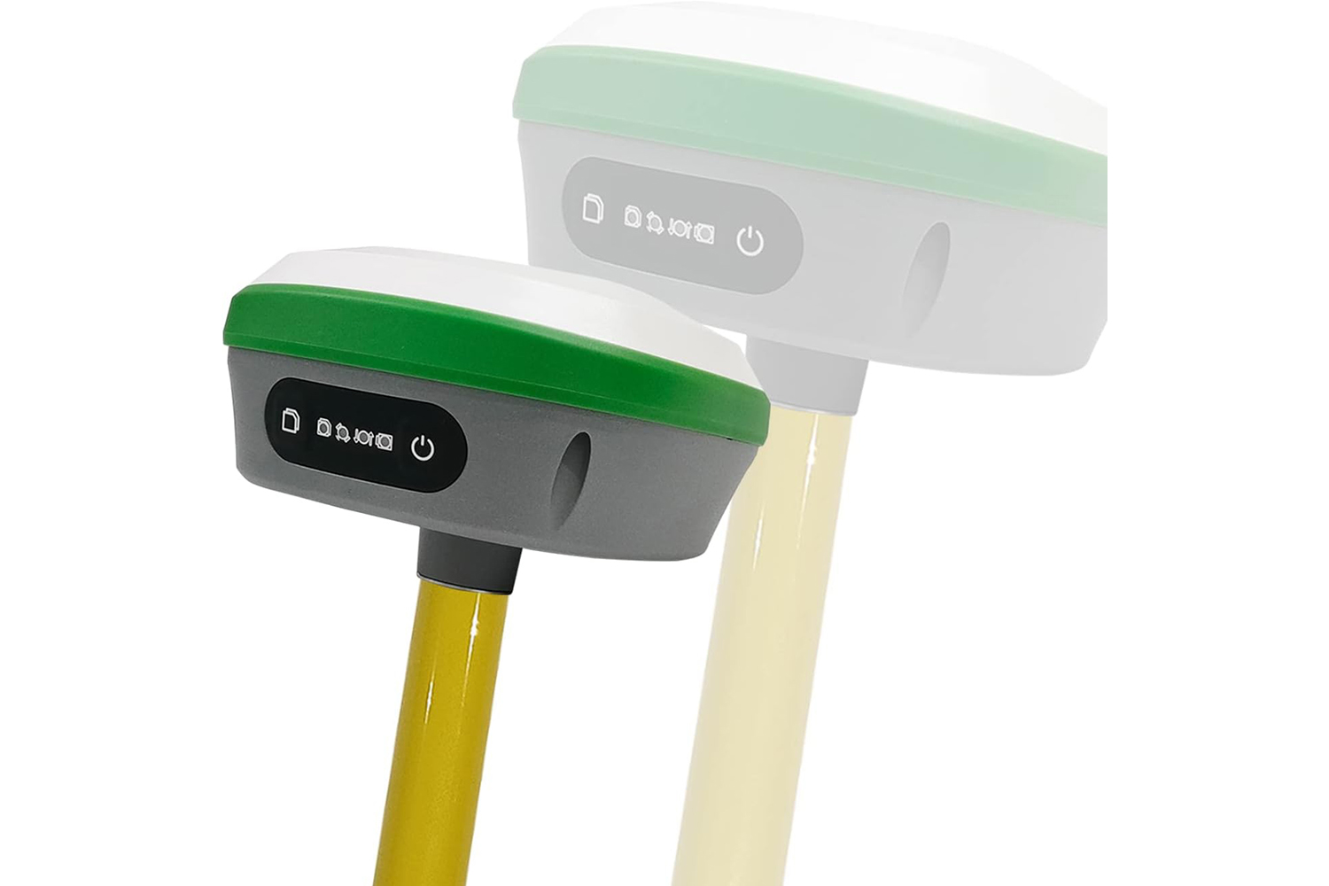
Software / App
Mobile measurement platform software Survey is an RTK surveying and mapping field mobile measurement platform software, mainly used in road measurement lofting, electric power survey and other fields of efficient measurement lofting, support a key fixed


More Services
Contact Us
Email : surnavrtk@gmail.com
Tel : 07424159780
Fax :
Address : 351A HOLLOWAY ROAD LONDON ENGLAND N7 0RN
Tel : 07424159780
Fax :
Address : 351A HOLLOWAY ROAD LONDON ENGLAND N7 0RN


Copyright © SmartSurNav Technology Co., LTD


