


 Download
  surnav.co
GPS RTK: Error Exploration and Countermeasures
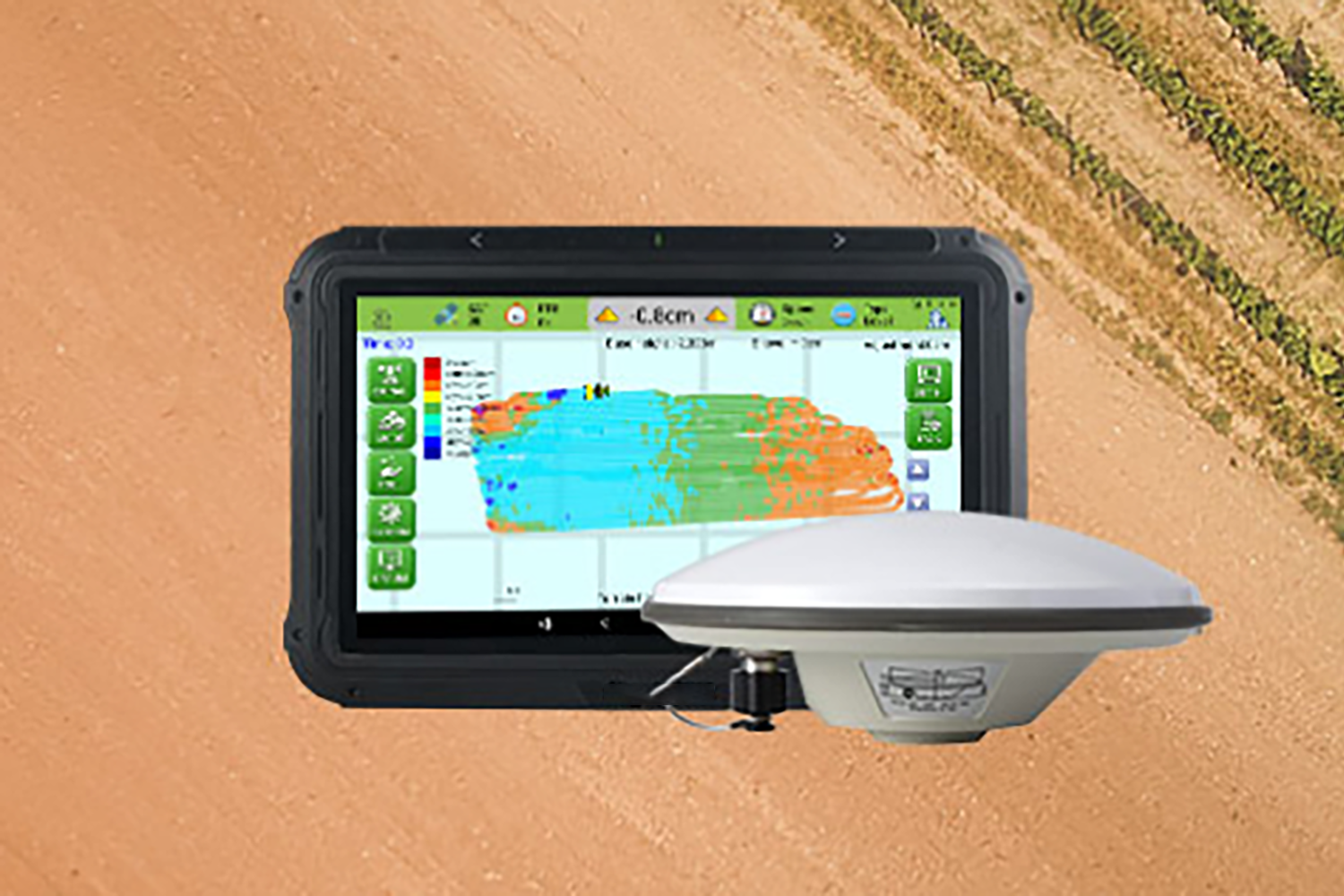
1. GPS RTK Overview
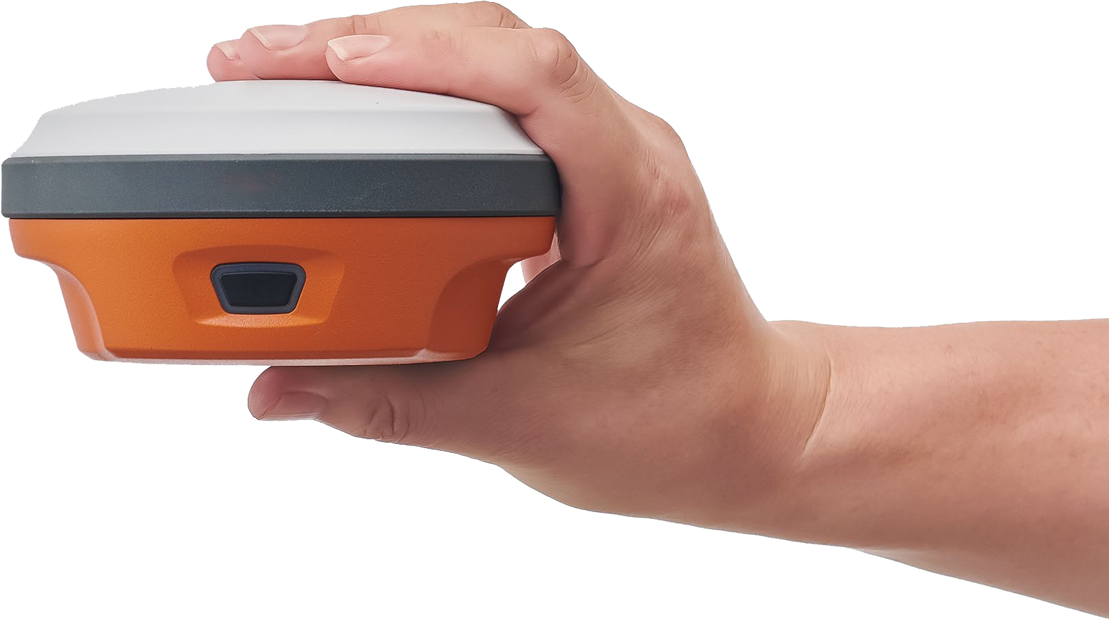
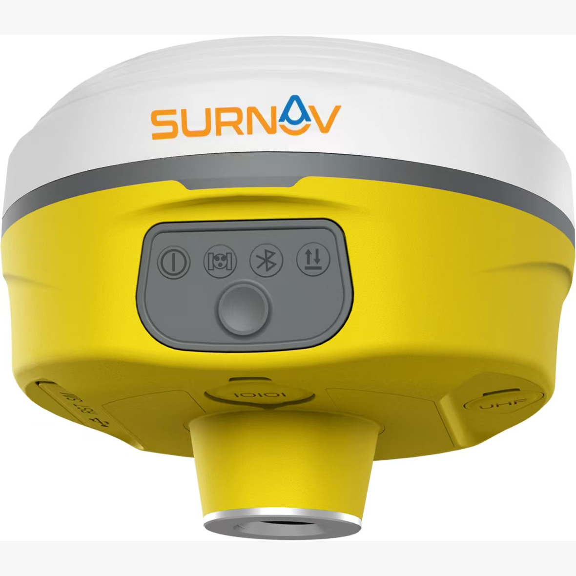
GPS RTK (Real-Time Kinematic) is a high-precision positioning technology that uses ground receiving equipment to simultaneously receive satellite signals and differential signals sent by base stations to determine the three-dimensional coordinates of ground points. Its working principles mainly include the following aspects:
• The base station is built at a known or unknown point, receives satellite signals in real time, and transmits the observed carrier phase, pseudorange and other data to the mobile station via radio.
• While receiving satellite signals, the mobile station also receives information sent by the base station, and jointly solves the two in real time to obtain the baseline vector between the base station and the mobile station.
• Combined with the coordinates of the base station, the coordinates of the mobile station in the WGS84 coordinate system can be calculated, and finally the plane coordinates and elevation in the local coordinate system can be obtained through coordinate conversion.
GPS RTK has a wide range of applications in engineering surveying:
• Control measurement : The urban control network has the characteristics of large control area, high precision and frequent use. Conventional control measurement such as traverse measurement requires line of sight between points, which is labor-intensive and time-consuming with uneven precision; GPS static measurement data collection takes a long time and needs to be processed afterwards. The application of RTK technology has obvious advantages in both operation accuracy and efficiency, and can quickly and accurately provide control points to improve work efficiency. For example, in the surveying and mapping of urban built-up areas and planned areas, if the urban level I, II, and III traverses are damaged, RTK technology can promptly re-measure the control points to ensure the progress of engineering measurement.
• Centerline alignment : When staking out the centerline of a municipal road or power line, one person can complete the staking work. Input the line parameters into the RTK field controller, and you can stake out by stake number or coordinate. When staking out, arrows will appear on the screen to indicate the offset and offset direction, making it easy to adjust the position until the error is less than the set value.
• Building planning and layout : Building planning and layout require high accuracy, which must meet both urban planning conditions and the geometric relationship of the building itself. When using RTK for building layout, it is necessary to check the geometric relationship, especially for the short side relative relationship, which is difficult to meet. When the point accuracy converges to a high level, RTK planning and layout can generally meet the requirements.
• Land measurement : In the survey and demarcation of construction land, RTK technology can measure the coordinates of boundary points in real time, determine the scope of land use boundaries, and calculate the land area. In land classification and ownership investigation, it can measure ownership boundaries in real time, conduct land classification and measurement, and improve measurement speed and accuracy.
2. GPS RTK Error Sources
1. Satellite-related errors
1. Ephemeris error: The magnitude of the ephemeris error depends on the quality of the satellite orbit determination system, including the number of orbit determination stations and their geographical distribution, the number and accuracy of observations, the mathematical model used for orbit determination, and the degree of perfection of the orbit determination software. In addition, it is also directly related to the extrapolation time interval of the ephemeris. According to statistics, the ephemeris error may cause a positioning error of tens or even hundreds of meters.
2. Satellite clock error: GPS satellites all use high-precision atomic clocks, but there are still deviations and drifts from GPS standard time, with a total amount within 1ms to 0.1ms. The resulting equivalent positioning error will reach 300km to 30km. Even in satellite navigation with lower accuracy, the time given by the satellite clock cannot be used directly.
3. Relativistic effect: Due to the different states of the satellite clock and the receiver clock, a relative clock error is generated. This error has the same impact on the code pseudorange observation value and the carrier phase observation value.
4. Signal delay in the satellite: The signal delay in the satellite will affect the measurement results. The time from the start of ranging signal generation driven by the satellite clock to the signal generation and leaving the phase center of the transmitting antenna is usually called the signal delay in the satellite.
5. Satellite antenna phase center deviation: There is a difference between the satellite antenna phase center and the satellite centroid. This deviation can cause the error of the point coordinates to generally reach 3-5cm, which has a great impact on the RTK positioning accuracy.
6. SA error: The US military has adopted a policy to reduce system accuracy, including the ε technology that reduces the accuracy of broadcast ephemeris and the δ technology that adds a random jitter to the basic frequency of the satellite. After the implementation of SA technology, SA error has become the most important factor affecting GPS positioning error. Although the United States canceled SA on May 1, 2000, it may still restore or adopt similar interference technology in wartime or when necessary.
2. Errors related to signal propagation
7. Ionospheric delay: 60km - 1000km Under the action of ultraviolet rays, X-rays, gamma rays and high-energy particles, the gas molecules and atoms in the atmosphere are ionized to form free electrons and positive ions, which affect the propagation of radio signals, change the propagation speed, bend the propagation path, and produce the so-called ionospheric delay. The electron density of the ionosphere varies with the sunspot activity, geographical location, seasonal changes, and day and night. It is 5 times that of night in the daytime and 5 times that of summer in winter. The strongest sunspot activity is 5 times that of the weakest. During the sunspot eruption period, RTK measurement cannot be performed.
8. Tropospheric delay: The troposphere is the atmospheric layer below 50km in altitude. The atmospheric refractive index depends on factors such as temperature, air pressure and relative humidity. The propagation path of the signal will also bend, causing a systematic deviation in the distance measurement value, which is called tropospheric delay. When the altitude angle is 90°, the propagation path difference of the electromagnetic wave can reach 2-3mm, and when the altitude angle is 10°, it can reach up to about 20m.
9. Multipath effect: The signal that reaches the receiver after being reflected by the surface of some objects and the signal directly from the satellite are superimposed and interfered before entering the receiver, which will cause systematic errors in the measurement values. The multipath error depends on the environment around the measuring station, the performance of the receiver and the length of the observation time. The multipath error is generally a few centimeters and can exceed 10cm in a highly reflective environment.
(3) Errors related to the receiver
10. Receiver clock error: The receiver clock has the same error as the satellite clock, and since most receivers use quartz clocks, the clock error is more significant than that of the satellite clock. This error mainly depends on the quality of the clock and also has a certain relationship with the environment during use. The impact on code measurement pseudorange and carrier phase observations is the same.
11. Receiver position error: The error of the phase center of the receiver antenna relative to the center of the station marker, including the leveling and centering errors of the antenna, and the antenna height error. For example, when the antenna height is 1.6m, the leveling error is 0.1°, which may result in a centering error of 3mm.
12. Receiver measurement noise: Random measurement error caused by the instrument and the external environment when the receiver performs GPS measurement. The error value depends on the performance of the instrument and the quality of the operating environment. Generally speaking, the value of measurement noise is much smaller than the above-mentioned deviation values. After observing for a long enough time, the influence of measurement noise can usually be ignored.
13. Receiver phase antenna center deviation: The difference between the receiver antenna phase center and the antenna reference point is called the receiver antenna phase center deviation. The impact of this deviation can reach several millimeters to several centimeters.
14. Signal delay in the receiver: After the satellite ranging signal reaches the phase center of the receiver antenna, it takes a certain amount of time to amplify, filter and process the signal before it can enter the code correlator and be correlated with the replica code from the receiver to obtain the code measurement pseudorange observation value or enter the carrier tracking loop to obtain the carrier phase observation value.
(IV) Other error factors
15. Impact of conversion parameters: The accuracy of conversion parameters directly affects the accuracy of measurement results. The accuracy and distribution of conversion control points and the change of base stations may cause systematic errors. When RTK converts parameters, the base station must remain stationary, otherwise systematic errors will occur and the results obtained may be wrong overall.
16. Impact of satellite signals: RTK requires that the base station and the mobile station can simultaneously receive at least 5 identical satellite signals. The more satellites there are and the better their distribution, the better the RTK signal. Otherwise, the measurement accuracy will be very poor or even impossible to calculate.
17. Impact of RTK base station data link transmission: Radio signal transmission is crucial in RTK measurement. However, radio data link signals are easily blocked by mountains and buildings during transmission, and may also be interfered by other electromagnetic waves and cause abnormalities. Therefore, the radio reception of the mobile station has a lot to do with the stability of the RTK measurement signal.
18. Impact of the mobile station working mode: There are two working modes of the mobile station: the centering rod and the tripod. The centering rod is convenient to use, but the machine is easy to shake, and the accuracy fluctuates slightly. The tripod is a little more complicated, but the accuracy is a little higher, especially when measuring the control point, the machine needs to be stabilized for measurement.
19. Selection of operation time: In order to enable RTK to receive enough satellites, rainy days and weather with thick clouds should be avoided. At the same time, in order to reduce the influence of the electric current layer and troposphere, the time period around 14:00 should be avoided.
20. Selection of base station operation: In order to ensure that enough satellite signals are received and radio data links are transmitted, there should be no large-scale shielding above the base station and no radio interference that affects data link communications. Therefore, the RTK base station should be located on the roof of a building with a wide field of view or at a higher altitude. It must avoid TV and radio transmission towers, airports, high-voltage lines and large areas of water.
21. Selection of mobile station operations: In addition to topography and stakeout, mobile stations should avoid the influence of satellite signals and data links and the generation of multipath effects like base stations.
3. GPS RTK Error Response Strategy
1. Specific measures for different error sources
22. Reduce ionospheric errors:
◦ Using synchronous observations to find differences: Using two GPS receivers to perform synchronous observations at both ends of the baseline and taking the difference between the observations can reduce the impact of ionospheric refraction. The effect is more obvious for short baselines (less than 20km). The residual error of the baseline length after ionospheric refraction correction is generally 1ppm.D, but as the baseline length increases, the accuracy will decrease significantly.
◦ Adopt the linear combination observation value of dual-frequency receiver: linearly combine the observation values of L1 and L2 to eliminate the influence of ionosphere.
◦ Correction using ionospheric model: By establishing an ionospheric model, the observed values are corrected to weaken the ionospheric error.
23. Reducing receiver position error:
◦ When surveyors conduct GPS field observations in large-scale water conservancy and hydropower projects or construction control networks for precision instrument installation projects, they must be highly responsible and operate carefully. The instrument must be strictly centered and leveled, and the instrument height must be measured three times from three directions to take the average value, so as to minimize the impact of GPS receiver position errors.
◦ If deformation monitoring is to be carried out, an observation pier with a forced centering device must be used to ensure the accuracy of the position of the receiver antenna phase center relative to the center of the station marker.
24. Reduce multipath error:
◦ Choose a suitable site: avoid being near water, on a hillside, and away from high-rise buildings. Choose a site with open terrain and no reflective surfaces to reduce multipath errors.
◦ Set up a radial suppression plate: Set up a radial suppression plate or a radial suppression ring under the antenna to suppress multipath errors. The receiver antenna should have a strong suppression ability for reflected signals with opposite polarization directions, and use antennas with various technologies to reduce multipath errors.
◦ Laying radio wave absorbing materials: Lay radio wave absorbing materials near the base station to reduce multipath errors.
25. Weaken the side effects of electromagnetic radiation:
◦ Select a site away from interference sources: In order to reduce the side effects of electromagnetic radiation, the site must be selected away from interference sources such as radio transmitters, radar equipment, high-voltage lines, etc. It should be more than 200 meters away from radio transmitters and more than 50 meters away from high-voltage lines.
◦ Continuously monitor satellite cycle slips and signal-to-noise ratio: The most effective way to reduce antenna electrical noise at the base station is to continuously monitor the cycle slips and signal-to-noise ratio of all visible satellites to ensure the accuracy of the observation data.
26. Reduce the impact of tropospheric refraction:
◦ Set the satellite altitude cut-off angle: By setting the satellite altitude cut-off angle, the reception of low-altitude satellite signals is reduced, thereby weakening the impact of tropospheric refraction.
◦ Using synchronous observations to calculate differences: Using synchronous observations from two or more observation stations to calculate differences can reduce the impact of tropospheric refraction. This method is particularly effective for short baselines.
◦ Correction using tropospheric model: The tropospheric model is used for correction, and its meteorological parameters are directly measured at the observation station. Additional estimated parameters describing the influence of the troposphere are introduced and obtained together in the data processing.
2. Comprehensive response strategy
Comprehensively consider various sources of errors, rationally select measuring equipment, working hours and locations, and improve the professional quality of surveying personnel to ensure the accuracy and stability of measurement results.
In the selection of measuring equipment, good-performance GPS receivers and antennas should be selected, with high-precision positioning and anti-interference capabilities. At the same time, suitable data processing software should be equipped to accurately process and analyze the observation data.
When choosing the operation time, you should avoid rainy days, weather with thick clouds, and the time period around 14:00 to reduce the impact of the current layer and troposphere and ensure that RTK can receive enough satellite signals.
In terms of the selection of the operation site, the base station should be located on the roof of a building with a wide field of view or on a higher ground, and must avoid interference sources such as TV and radio transmission towers, airports, high-voltage lines and large areas of water. Mobile stations should avoid the influence of satellite signals and data links and the generation of multipath effects, just like base stations.
It is also very important to improve the professional quality of surveyors. Surveyors should have solid professional knowledge and rich practical experience, be able to operate measuring equipment skillfully, and accurately judge the accuracy of measurement results. At the same time, surveyors should have a high sense of responsibility and a rigorous work attitude, and conduct measurements strictly in accordance with operating procedures to ensure the reliability of measurement results.